
What is recorded here
Marked on the 1839 and 1924 eds of the OS 6-inch map, and described as St, Garvan’s well in gothic script on both. It is situated in the valley of a N-S stream which is c. 10m to the E. It was mentioned by John O’Donovan writing c. 1840, but the date of the pattern was not known (O’Flanagan 1933, vol. 2, 38) so the particular St. Garbhán to whom it was dedicated cannot be identified (Ó Riain 2011, 362-4). A shallow triangular area (dims c. 5m x c. 5m) with a leat leading to the stream may be the well, but there is no evidence of veneration.
Compiled by: Michael Moore
Date of upload: 8 November, 2012
St. Garvans Well is associated with St. Garvan, a 6th-century Irish saint known for founding monastic sites in Munster. The well, noted by John O’Donovan, was likely a site of pilgrimage and may have been visited for its supposed healing properties, common to many holy wells linked to early Christian saints.
The monument record does not grant public access. Check the route and ask the landowner before entering private land.
- What survives
- Recorded monument
Places near here
 graveyard/cemeterygraveyard/cemetery · 298 yd
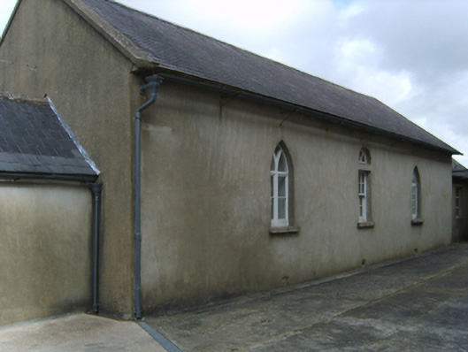 Saint Garvan's Catholic Churchschool · 525 yd
 Field system in CamarossField system · 933 yd
 Furnace in DungeerFurnace · 1415 yd
 Bawn in Tracystown WestBawn · 1.9 mi
 Camaross HillMountain / peak · 2.3 mi
 Taghmon CastleCastle · 2.4 mi
 Glenour MonumentMemorial · 3.2 mi
 Coolcliffe HouseRuins · 4.0 mi
 Carrickbyrne HillMountain / peak · 4.1 mi
 Carrig-On-BannowVisitor information · 7.8 mi
 1798 MemorialMemorial · 7.8 mi
Other information
Photo: Credit not shown in the picture search · Rights wording not checked; contact us if this picture should be removed