
What is recorded here
This church has been identified as St Patrick's (Bradley 1980-1, 40-51), which was described as having its own churchyard and to be located N of St. Cianán’s church (ME027-037003-) in the cartulary of St. Michael’s priory (ME027-038011-) of Llanthony Secondo, dated 1381. The building (ext. dims c. 12m plus NE-SW, 6.4m NW-SE; int. dims 11m NE-SW plus; 4.7m NW-SE) survives, except the NE wall (H c. 0.7m) and the SW wall, which is completely absent. Its only feature is a pointed doorway (Wth 0.97m; H 2.15m) of undressed stone in the SE wall. Earlier walls are visible under the NW wall. Apart from a field boundary curving around the church NE-SE-S c. 10-20m distant there is no evidence of an enclosure or graveyard. Built into the inner face of the NW wall is an irregularly shaped limestone slab broken into four pieces (max. dims 1.65m x 0.85m). Centrally placed across the stone is a lightly incised inscription: ÓR DO SCANLA_N. (Anon. 1916, 205; Macalister 1949, 2, 33)
The above description is derived from the published 'Archaeological Inventory of County Meath' (Dublin: Stationery Office, 1987). In certain instances the entries have been revised and updated in the light of recent research.
Compiled by: Michael Moore
Date of upload/revision: 14 August, 2014
The monument record does not grant public access. Check the route and ask the landowner before entering private land.
- What survives
- Recorded monument
Places near here
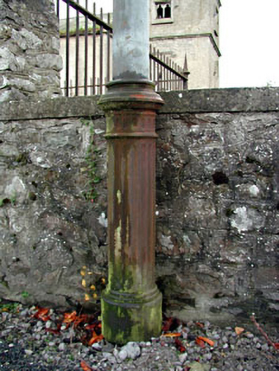 vent pipevent pipe · 68 yd
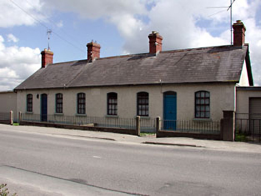 teacher's houseteacher's house · 97 yd
 CrossCross, Wayside cross · 165 yd
 Common LimeCommon Lime · 226 yd
 CastleCastle, motte · 476 yd
 Enclosure in PriorylandEnclosure · 748 yd
 Athcarne CastleCastle, tower house · 2.4 mi
 Boyne Currach CentreHeritage attraction · 2.8 mi
 Brú na Bóinne Visitors CentreVisitor information · 2.9 mi
 Brú na Bóinne Visitor Centre AccessHeritage attraction · 2.9 mi
 Glenmore ForestWood · 3.3 mi
 Newgrange Business ParkMemorial · 3.8 mi
Other information
Photo: Kieran Campbell · CC BY-SA 2.0