What is recorded here
From OpenStreetMap (© OpenStreetMap contributors) n13728163230
Places near here
Photo credits
- Maker not stated on source page, www.dreamstime.com
- Maker not stated on source page, commons.wikimedia.org
- National Inventory of Architectural Heritage
- Maker not stated on source page, www.tripadvisor.com.au
- Maker not stated on source page, www.pinterest.com
- Maker not stated on source page, imgur.com
- Maker not stated on source page, www.cntraveller.com
- Marco Ober, Wikimedia Commons · CC BY-SA 4.0
- Maker not stated on source page, www.ireland.com
- Espresso Addict, Geograph · CC BY-SA 2.0
 Church in Cill BuaineChurch · 810 yd
Explorer Tom Another Church in Cill Buaine holds a superstition that touching the stones guarantees luck. Overgrown and messy, it’s…
 Fairy fort / earthen ringfort in Ráth CiaráinFairy fort / earthen ringfort · 1455 yd
Explorer Tom Ráth Ciaráin has been stuck in a terrible argument with a modern field wall about who gets to close the circle…
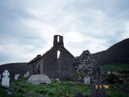 Séipéal na Cille [Killemlagh Catholic Chapel]Church/chapel · 1582 yd
Explorer Tom Séipéal na Cille is playing possum without its roof, looking like it’s mid-sentence. It’d tell its younger self to stop…
 Killemlagh Parish Church and Ruin of St. Fionáns MonasteryRuins · 1583 yd
Explorer Tom Killemlagh Church would teach history by pointing at a wall and saying 'that happened', then refusing to elaborate…
 Killemlagh Church (in Ruins)Church · 1585 yd
Explorer Tom Killemlagh Church is sitting right above Keel Strand, basically showing off its view of the Skelligs while acting all…
 Ogham stone in Ráth CiaráinOgham stone · 1591 yd
Explorer Tom Ogham stone in Ráth Ciaráin would tell the place that replaced it to go away and stop hogging all the glory from St…
 Mapped graveyardGraveyard · 1600 yd
Explorer Tom According to me, this mapped graveyard in County Kerry smells like old rain, wet wool, and something slightly…
 Trá Bá FhionáinBeach / strand · 1.2 mi
Explorer Tom Trá Bá Fhionáin keeps getting picked on by the wind because it stands too tall in County Kerry. The breeze thinks it…
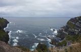 Kerry CliffsHeritage attraction · 3.0 mi
Explorer Tom The Kerry Cliffs near Portmagee have a serious grudge against the weather for keeping them looking so perpetually wet…
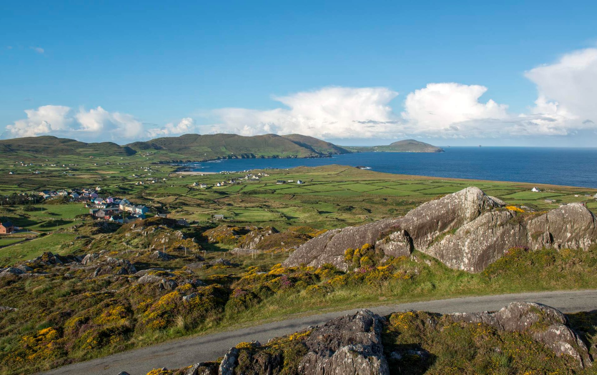 Oileán Chuas a' BháidIslet · 3.7 mi
Explorer Tom Oileán Chuas a' Bháid has been hiding a scandal involving a smuggler who lost his hat in the tide in 1842 and never got…
 Bulligacrowig RockIslet · 4.2 mi
Explorer Tom Bulligacrowig Rock has a hidden message carved into its stones that says 'I’m still here', which I think is honestly…
 Bray HeadMountain / peak · 4.9 mi
Explorer Tom Bray Head in County Kerry is boasting about surviving a storm that wasn't even particularly wet, just damp and rude.…
More waterfalls, wells and springs in County Kerry · All of County Kerry

What do you know about this place?Tap to add a comment or ask a question