What is recorded here
St. Bridgets Well in County Carlow is a holy well now lost to time, described as dry on an 1839 map and untouched by later trenching. It may have been a place where people washed wounds, poured offerings, or simply drank water they believed blessed. The well no longer appears on the land, but the name still carries the shape of a ritual that once gave the water meaning.
Described as 'now dry' on 1839 'OS 6-inch' map. (JKAS 1933, 214). Test trenching carried out within area of constraint in 2005 by Coilin Ó Drisceoil (Ó Drisceoil, 2008, p. 18) failed to reveal anything of archaeological significance.
The above description is derived from the published 'Archaeological Inventory of County Carlow' (Dublin: Stationery Office, 1993). In certain instances the entries have been revised and updated in the light of recent research.
Date of upload/revision: 03 February 2009
Linked to St. Brigid, a major figure in early Irish Christianity, the well would have been associated with her widespread cult, which includes traditions of healing and fertility. St. Brigid's wells were often sites of pilgrimage and ritual, particularly on her feast day, February 1st.
The monument record does not grant public access. Check the route and ask the landowner before entering private land.
- What survives
- Recorded monument
Places near here
 Church (in ruins), GraveyardChurch · 272 yd
 Catholic Church of Saint Peter and Saint Paulchurch/chapel · 331 yd
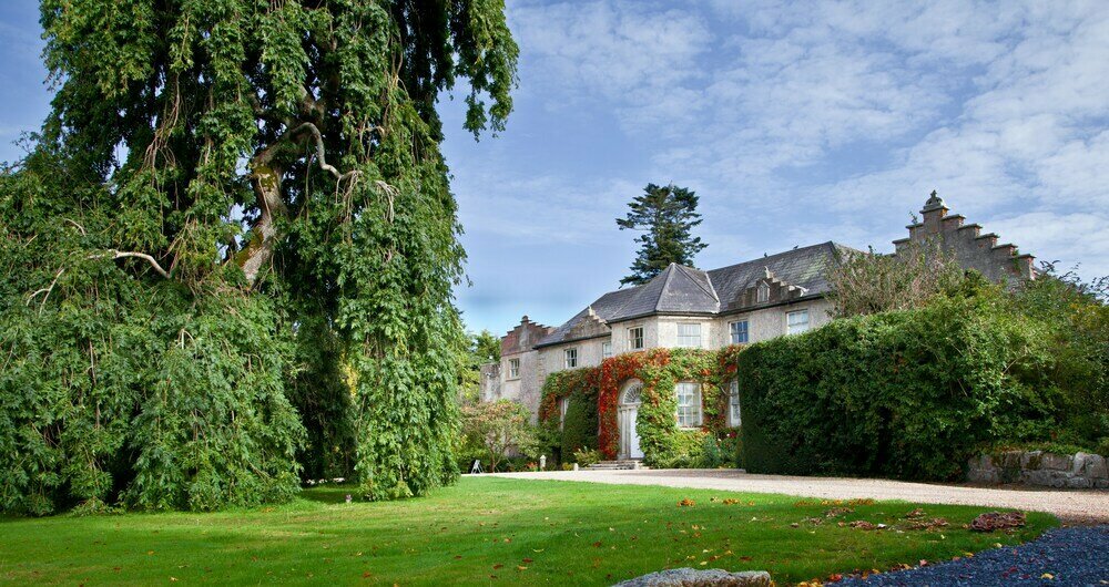 Enclosure in BallonEnclosure · 378 yd
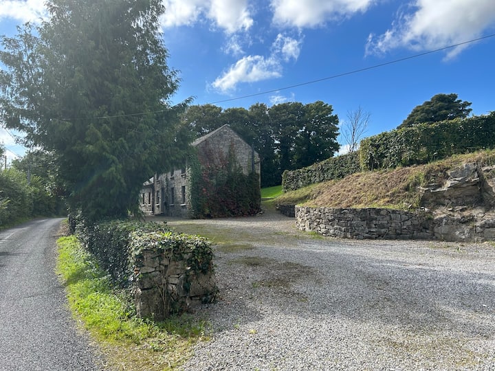 No indicatedEnclosure · 514 yd
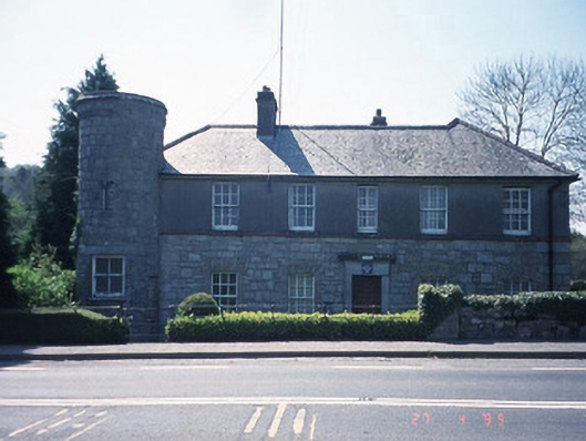 Ballon Garda Síochána StationRIC barracks · 641 yd
 Castlegrace MoatCastle, motte · 1.6 mi
 Altamont Gardens MapVisitor information · 2.3 mi
 Scots PineScots Pine · 2.3 mi
 Altamont House and GardensHeritage attraction · 2.4 mi
 English hollyEnglish holly · 2.9 mi
 Ballynunnery Castle in ruinsCastle, unclassified · 3.3 mi
 Kilmurry Church (in ruins), GraveyardChurch · 3.4 mi