
What is recorded here
St. Bridget's Burial Ground in County Limerick appeared on maps only after 1840, marking a late Victorian addition rather than an ancient holy site. It is no longer active, leaving behind a quiet field where forgotten people may have rested under the patroness of fire and light. The absence of older records does not diminish the dead; it simply redirects curiosity toward the living hands that dug the graves and named the place.
This burial ground is named "St Bridget's" on the 1938 OS map but is not depicted on the 1840 OS map and therefore is late 19th-century in date. It is no longer in use as a graveyard.
Compiled by: Denis Power
Date of upload: 26 February 2013
The monument record does not grant public access. Check the route and ask the landowner before entering private land.
- What survives
- Recorded monument
Places near here
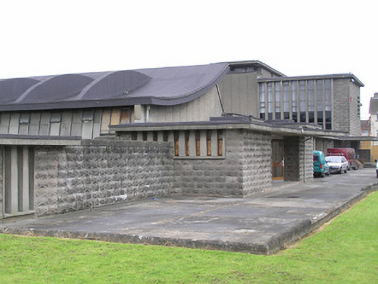 Saint Munchin's Girls' National Schoolschool · 166 yd
 Church in Limerick City,glebe (limerick Municipal Borough)Church · 255 yd
 Site of CastleCastle, unclassified · 274 yd
 Cromwells Fort (Site of)-HachuredBastioned fort · 849 yd
 Site of Cromwell's FortFort · 857 yd
 Bastioned fort in Farranshone Beg,farranshone MoreBastioned fort · 869 yd
 King's IslandIsland · 1158 yd
 Anthony Foley MemorialMemorial · 1405 yd
 Shannon IslandIslet · 1655 yd
 Hunt MuseumMuseum · 1727 yd
 Siege of Limericksiege · 1.0 mi
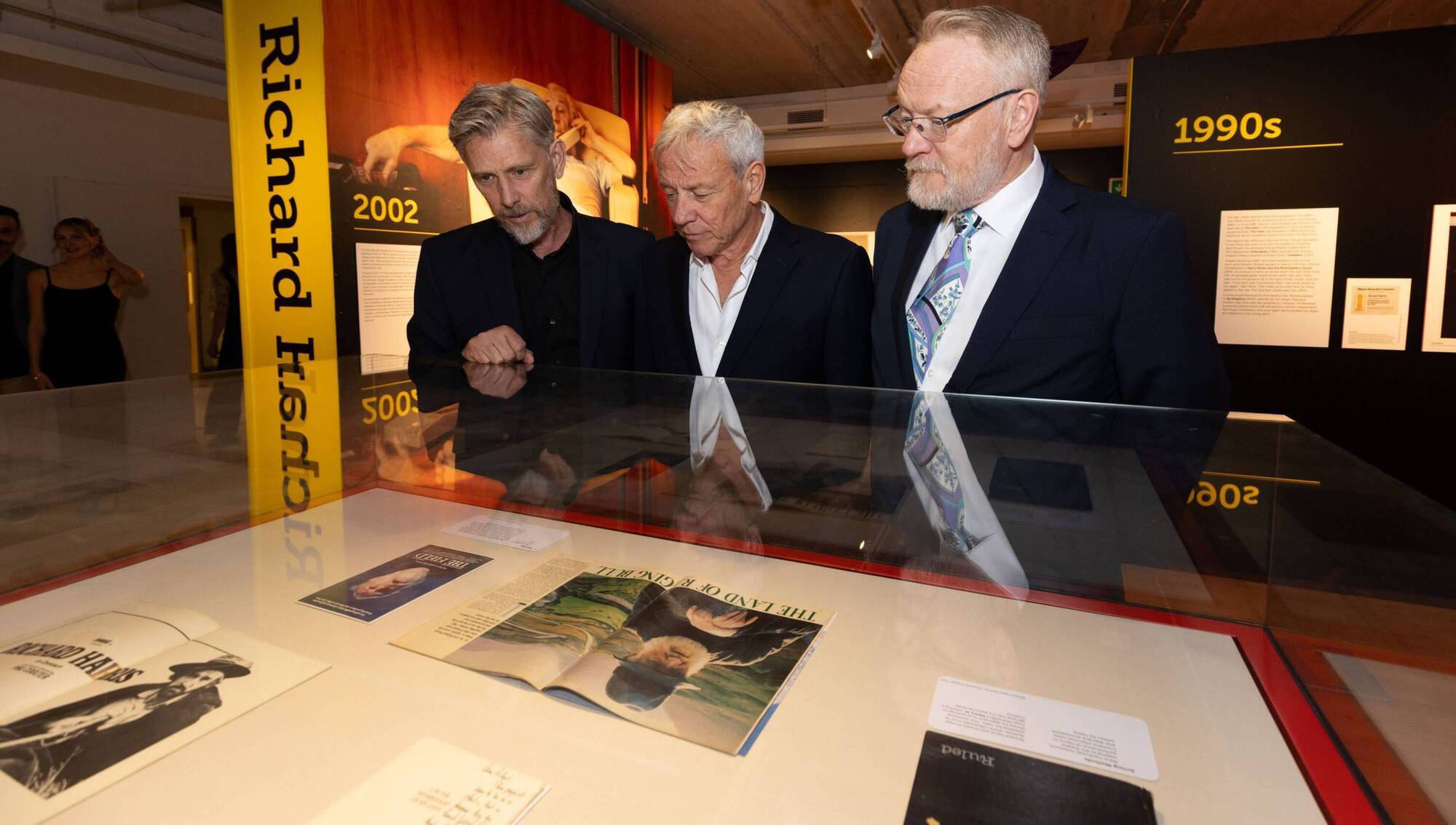 Richard Harris MemorialMonument · 1.1 mi
Other information
Photo: Credit not shown in the picture search · Rights wording not checked; contact us if this picture should be removed