What is recorded here
Situated on the W side of the Rosslare sand-spit and on the W side of a N-S road. It is marked on the 1839 and 1940 eds of the OS 6-inch map and described as St. Braagh’s well on both. The name is probably Brioc, which is cognate with Bridget. The well has been conserved and is now a circular area (diam. c. 0.8m) defined by a masonry wall (H c. 0.,5m) in a little sunken patio. There is no evidence of veneration. The church (WX043-002001-) is c. 30m to the N.
Compiled by: Michael Moore
Date of upload: 31 May, 2013
St. Braaghs Well is associated with Saint Brioc, an early Irish saint linked to several holy sites in southeast Ireland. Traditionally, the well was visited for its healing properties, particularly for skin ailments and general well-being, with rituals often involving the immersion of cloths or personal items in the water.
The monument record does not grant public access. Check the route and ask the landowner before entering private land.
- What survives
- Recorded monument
Places near here
 Site of ChapelChurch · 27 yd
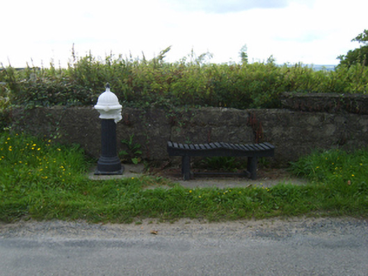 water pumpwater pump · 209 yd
 BirdlifeVisitor information · 455 yd
 James Stevens Lifeboat MemorialMemorial · 470 yd
 Rosslare Strand BeachBeach / strand · 1166 yd
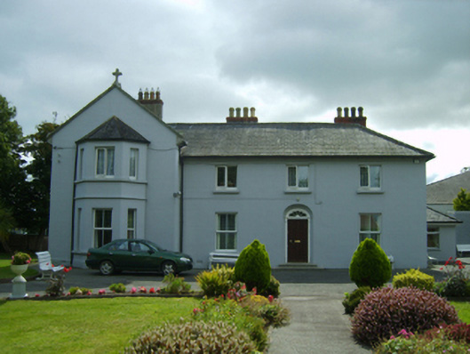 Convent of Mercyhouse · 1446 yd
 Marconi HouseMemorial · 1.3 mi
 Birdlife of RosslareVisitor information · 1.6 mi
 St. Helens WellHoly well · 2.1 mi
 Site of CastleCastle, unclassified · 2.4 mi
 Sack of Wexfordsiege · 3.7 mi
 Siege of Wexfordsiege · 3.7 mi