What is recorded here
At the bottom of the S-facing slope of an E-W ridge, at the junction with the flood-plain of the River Shannon. A small conserved D-shaped well (dims 1.2m x 0.9m) is within a circular enclosure (int. dims 9.8m E-W; 9.5m N-S) defined by a masonry wall (Wth 0.45m; H 0.8-1m) and it also contains a tree, flowers and a shrine. A cairn (RO030-001002-) (Wth 1-1.5m; H 0.5m) is heaped against the outside of the wall. The pattern was held on 15 August but is now held on 15 February, the date of the saint’s death (Beirne 2000, 329). Kilbarry church (RO024-016001-) is c. 300m to the N. (O'Connell 1988, 59)
See the attached image taken from the NE.
Compiled by: Michael Moore
Date of upload: 24 August 2010
St Barry's Well is associated with St Barry, a 7th-century Irish saint known for his ascetic life and missionary work in Munster. The well was traditionally visited for its healing properties, particularly for eye ailments and skin conditions, and was a site of pilgrimage and seasonal rituals.
The monument record does not grant public access. Check the route and ask the landowner before entering private land.
- What survives
- Recorded monument
Places near here
 St. Barry's WellSpring · 6 yd
 Font in KilbarryFont · 365 yd
 Long IslandIslet · 1353 yd
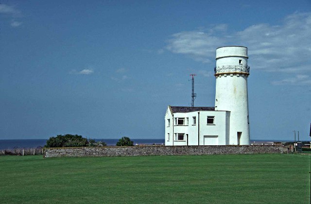 Embanked enclosureFairy fort / earthen ringfort · 1658 yd
 Castle Forbeschurch/chapel · 1.3 mi
 CastleCastle, unclassified · 1.6 mi
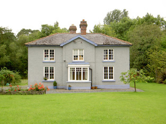 worker's houseworker's house · 1.8 mi
 Bawn in Castleforbes DemesneBawn · 1.9 mi
 Lebanon CedarLebanon Cedar · 1.9 mi
 Rabbit IslandIslet · 3.6 mi
 First World War MemorialMemorial · 5.2 mi
 Saint Mel's CathedralCathedral · 5.2 mi