What is recorded here
Close to shore of Ross Lake c. 630m SE of St Annin's Church (GA068-024----). This well, correctly Tobar Ainthín, was noted by O'Flaherty in 1684 (Hardiman 1846, 54). It consists of a natural spring, dry at time of visit, delimited by a rectangular drystone wall (L c. 5m, Wth 3.8m). According to Killanin (1947, 123) it was resorted to on 18th January, St Annin's day. (O'Flanagan 1927a, Vol. 3, 146-7)
The above description is derived from the published 'Archaeological Inventory of County Galway Vol. I - West Galway'.
From the National Monuments Service (Archaeological Survey of Ireland) record GA068-025
The monument record does not grant public access. Check the route and ask the landowner before entering private land.
- What survives
- Recorded monument
Places near here
IlaunacashlaunCrannog · 691 ydBrigit's GardenHeritage attraction · 935 ydAnnagh WoodWood · 949 ydIndicatedFairy fort / stone ringfort · 989 yd Ross CastleCountry house · 1694 ydRoss CastleFarmyard complex · 1694 ydCnoc an Bhaile NuaMountain / peak · 2.1 miConnemara MarbleHeritage attraction · 2.9 miPotatoe IslandsIslet · 2.9 miAughnanure Castle (in ruins)Castle, tower house · 3.8 miAnnaghkeen Castle (in Ruins)Castle, Anglo-Norman masonry castle · 4.8 miOwenriff WayWalking route · 5.7 mi
 Ross CastleCountry house · 1694 yd
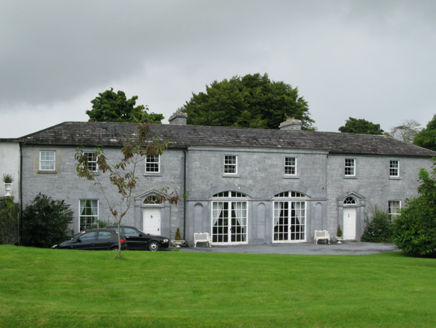 Ross CastleFarmyard complex · 1694 ydCnoc an Bhaile NuaMountain / peak · 2.1 miConnemara MarbleHeritage attraction · 2.9 miPotatoe IslandsIslet · 2.9 mi
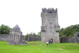 Aughnanure Castle (in ruins)Castle, tower house · 3.8 mi
 Annaghkeen Castle (in Ruins)Castle, Anglo-Norman masonry castle · 4.8 mi
 Owenriff WayWalking route · 5.7 mi
Pictures: National Inventory of Architectural Heritage; The original uploader was Miguev at English Wikipedia ., Wikimedia Commons · CC BY 3.0; Garry Dickinson, Geograph · CC BY-SA 2.0; Maigheach-gheal, Geograph · CC BY-SA 2.0
More archaeology and monuments in County Galway · All of County Galway
What do you know about this place?