
What is recorded here
On a slight rise in flat grassland. Very poorly preserved circular enclosure (diam. 29.2m) defined by a scarp. From N to E the enclosing element and part of the interior have been destroyed as a result of the construction of a house which is now ruined. The site of ‘Lisheennora Castle’ (GA099-109001-) is recorded on the OS 6-inch maps within its interior.
Compiled by: Galway Archaeological Survey, UCG
Date of upload: 21 June 2019
The monument record does not grant public access. Check the route and ask the landowner before entering private land.
- What survives
- Recorded monument
Places near here
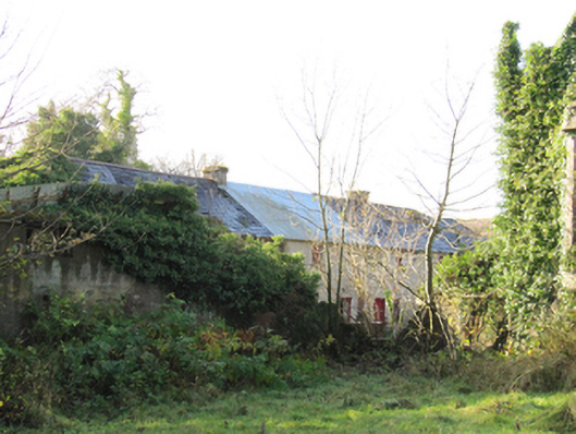 Gortnamonaoutbuilding · 639 yd
 European YewEuropean Yew · 698 yd
 European BeechEuropean Beech · 768 yd
 LisnabarraghFairy fort / earthen ringfort · 864 yd
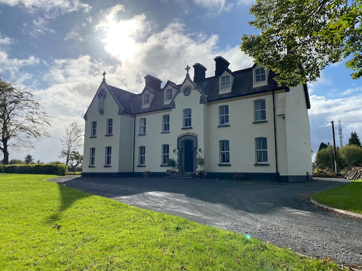 LissawaddaFairy fort / earthen ringfort · 1224 yd
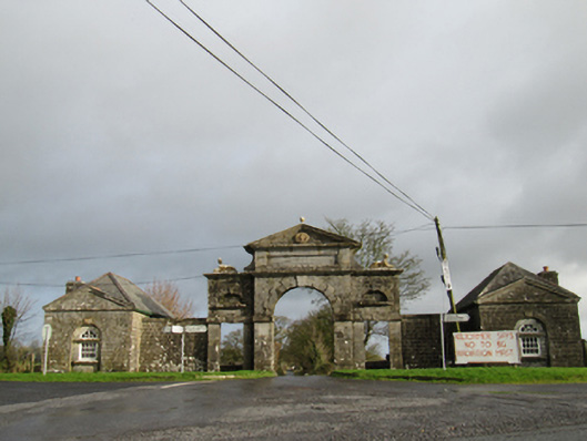 Belviewgates/railings/walls · 1.2 mi
 MoatCastle, motte and bailey · 2.1 mi
 Oghil Castle (in ruins)Castle, tower house · 2.2 mi
 Redmond HillMountain / peak · 4.1 mi
 Urraghry HillMountain / peak · 4.4 mi
 The bloody HollowHeritage attraction · 4.4 mi
 Ardcarn IslandsIslet · 4.6 mi
Other information
Photo: Credit not shown in the picture search · Rights wording not checked; contact us if this picture should be removed