What is recorded here
John Briscoe raised Srah Castle in 1588 as a four-storey tower house with fifteen-centimetre walls, musket holes and corner bartizans that still project above the flat Offaly ground. The western doorway survives only halfway, its iron gate long gone, while the third floor keeps its mural passage and the second floor hides a garderobe cutting through the eastern wall. A later house was added to the northern end when the area became less dangerous, suggesting the castle changed from a weapon into a home before ruin took it back.
Srah Castle is recorded as a ruins in County Offaly. Its open map record supplies this location and any linked names or public references.
Places near here
 Bawn in BallydrohidBawn · 7 yd
 Srah CastleRuins · 20 yd
 Enclosure in Ballydrohid,ballynagh,srah (ballycowan By.)Enclosure · 225 yd
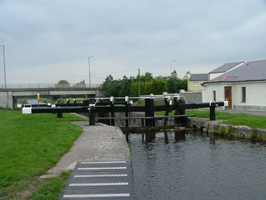 28th Locklock · 338 yd
 Field system in Ballydrohid,ballynagh,srah (ballycowan By.)Field system · 367 yd
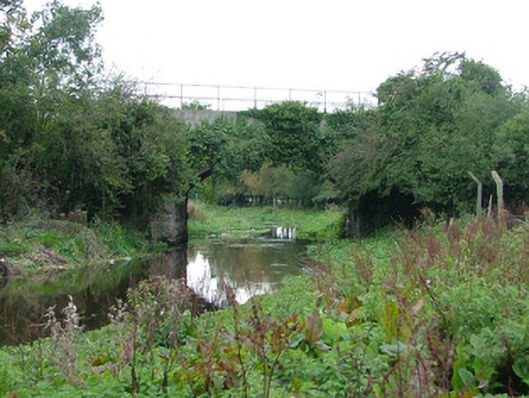 bridgebridge · 454 yd
 Pedunculate OakPedunculate Oak · 1401 yd
 Charleville ForestWood · 1684 yd
 Christ's WellSpring · 1.1 mi
 Grand Canal WayWalking route · 1.3 mi
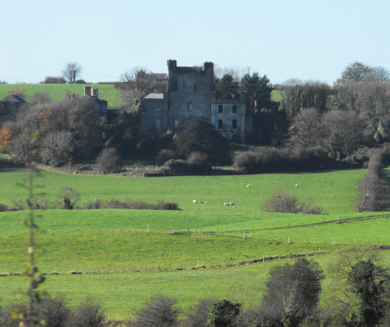 St O'Hara's HillMountain / peak · 2.1 mi
 Sugar HillMountain / peak · 2.6 mi