What is recorded here
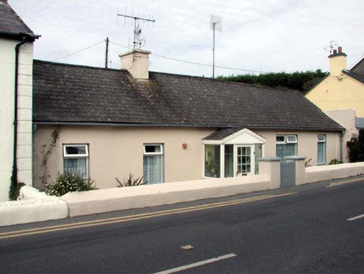
End-of-terrace five-bay single-storey house, c.1870, original detached. Reroofed and renovated, c.1970, with single-bay single-storey gabled projecting lower glazed porch added to centre. Refenestrated, c.1995. Pitched roof (gabled to porch) with replacement artificial slate, c.1970, clay ridge tiles, rendered chimney stack, timber eaves to porch, and cast-iron rainwater goods. Painted rendered walls. Square-headed window openings with rendered sills, and replacement uPVC casement windows, c.1995. Square-headed openings to porch with replacement glazed uPVC panelled door, c.1995, and fixed-pane uPVC lights. Set back from line of road below level of road with painted rendered boundary wall to front having painted rendered piers, and timber gate.
A modest-scale building of simple proportions, which contributes to the streetscape value of Church Road. However, much of the integrity of the composition has been undermined by the replacement of most of the original fabric with inappropriate modern articles.
This does not grant access. Most recorded buildings are privately owned; view them only from public ground unless the owner allows entry.
Places near here
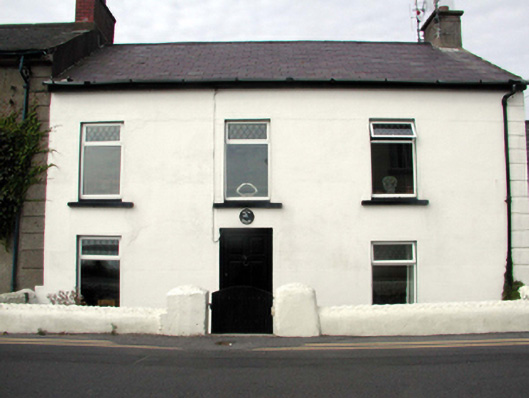 White Househouse · 13 yd
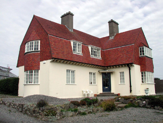 Saint Bernard'shouse · 71 yd
 Tourist InformationVisitor information · 331 yd
 Tramore Tourist OfficeVisitor information · 380 yd
 Cannon GunBattlefield · 399 yd
 Doneraile WalkWalking route · 574 yd
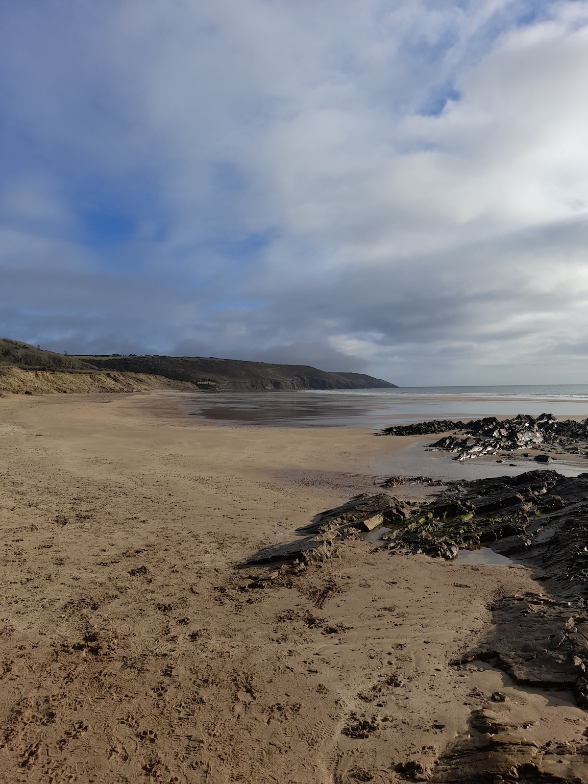 Enclosure in Crobally Upper (middlethird By.)Enclosure · 1331 yd
 Burnt spread in MonloumBurnt spread · 1345 yd
 Tramore Dunes WalkWalking route · 1500 yd
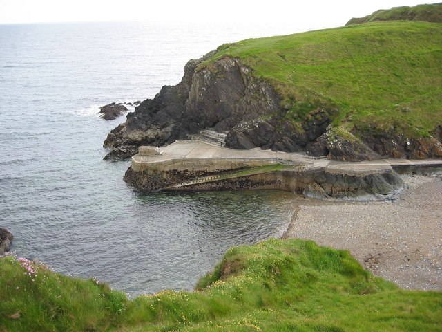 Newtown CoveBeach / strand · 1.3 mi
 Newtown WoodsWood · 1.3 mi
Other information
Photo: National Inventory of Architectural Heritage · Website use allowed for educational or private purposes with source credit