
What is recorded here
Marked 'St. Connell's Well' on the 2nd and 3rd editions of the OS 6-inch maps. It was not possible to locate a specific feature. There are many water-filled depressions in the bedrock here close to the foreshore on the N side of Inishkeel Island. Described by Ó Muirgheasa in 1936 as 'St. Conall's Well and the Blessed…
Read the whole record
From the National Monuments Service (Archaeological Survey of Ireland) record DG064-001
Places near here
Photo credits
- Maker not stated on source page, www.geograph.ie
- Maker not stated on source page, www.dreamstime.com
- Mac McCarron, Geograph · CC BY-SA 2.0
- Mhdelaney, Wikimedia Commons · CC BY-SA 4.0
- National Inventory of Architectural Heritage
- Maker not stated on source page, www.pinterest.com
- Maker not stated on source page, br.pinterest.com
- Golfing in Ireland; photographer not stated, Source publisher
- Maker not stated on source page, yandex.ru
- Bart Whelan, Wikimedia Commons · CC BY-SA 2.0
- Maker not stated on source page, www.academia.edu
 Inishkeel Island Church GraveyardGraveyard · 281 yd
Explorer Tom Inishkeel Island Church Graveyard packs two entire medieval churches onto a tiny island just five hundred metres…
 St Mary's ChurchChurch · 284 yd
Explorer Tom St Mary's Church on Inishkeel Island has an older 13th-century chancel and a later rebuilt nave that reused carved…
 InishkeelIslet · 316 yd
Explorer Tom Inishkeel has old churches and carved cross slabs, which sounds like a fine island hunt to me. Then Heritage Ireland…
 Narin–Portnoo StrandOfficial bathing water · 1094 yd
Explorer Tom Narin–Portnoo Strand is so bright on a clear day that I suspect Donegal polishes it before visitors arrive. White sand…
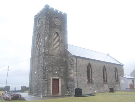 SS Conall and Mark's Church of Ireland ChurchChurch/chapel · 1317 yd
Explorer Tom SS Conall and Mark's Church of Ireland Church in Naran got lost when Vikings were looking for it, but they couldn't…
 Mapped graveyardGraveyard · 1319 yd
Explorer Tom Mapped graveyard in County Donegal would post a selfie with its headstone and caption it 'living my best life' every…
 Standing stone in Clooney (maas Ed)Standing stone · 1343 yd
Explorer Tom Standing stone in Clooney was known as Magheranakilla on old maps, located at the SW end of Tramore strand. Shifting…
 Narin & Portnoo Golf ClubGolf course · 1367 yd
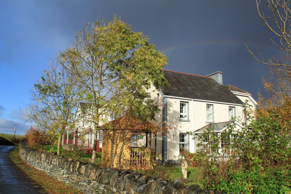 Lake House HotelHotel · 1.3 mi
Explorer Tom Lake House Hotel in County Donegal pretends to be a lake house but is just near water. A love story went badly wrong…
 Eire 73 signSecond World War neutrality sign · 1.4 mi
Explorer Tom Eire 73 sign in County Donegal has a bird that refuses to leave its roof because it likes the view of the sea and…
 Doon FortFairy fort / stone ringfort · 1.5 mi
Explorer Tom Doon Fort is claiming its best mate is actually a very confused dolphin who gets lost in Doon Lough every summer. It’s…
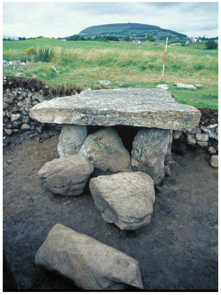 Megalithic tomb in CashelgolanMegalithic tomb · 2.0 mi
Explorer Tom The Megalithic tomb in Cashelgolan is basically a ruined stone fence and some big rocks, but locals swear it’s a portal…
More archaeology and monuments in County Donegal · All of County Donegal

What do you know about this place?Tap to add a comment or ask a question