What is recorded here
Near Oysterhaven estuary, 2-storey gable-ended house. Garden front (SE) of 2 bays; tripartite windows with shallow reveals. Entrance with simple fanlight in W face of lean-to addition to rear; gabled addition at N corner. Shallow reveals suggest early 18th century date; 1842 OS 6-inch map seems to show existing house without lean-to as one wing of larger L-shaped structure. Entrance pier has limestone slab of medieval appearance, depicting animal (probably boar).
The above description is derived from the published 'Archaeological Inventory of County Cork. Volume 2: East and South Cork' (Dublin: Stationery Office, 1994). In certain instances the entries have been revised and updated in the light of recent research.
Date of upload/revision: 14 January 2009
The monument record does not grant public access. Check the route and ask the landowner before entering private land.
- What survives
- Recorded monument
Places near here
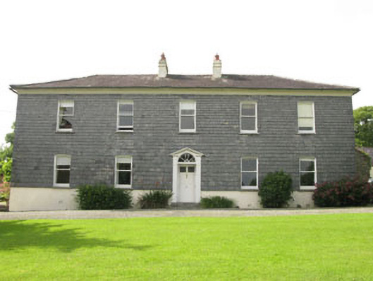 Ardbrack Househouse · 655 yd
 Graveyard in ArdbrackGraveyard · 938 yd
 Saint Catherine's Church (Ringcurran)church/chapel · 946 yd
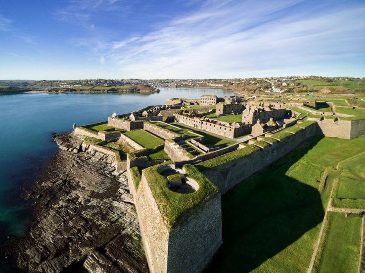 Fort (Site of)Fairy fort / earthen ringfort · 1223 yd
 IndicatedEnclosure · 1608 yd
 Kinsale Harbour CruisesHeritage attraction · 1.2 mi
 Spanish Galleon MainmastHeritage attraction · 1.2 mi
 Tim & Mortimer McCarthy MemorialMemorial · 1.2 mi
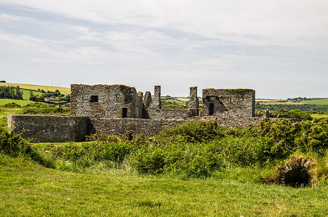 James FortVisitor information · 1.3 mi
 Pallastown WoodWood · 1.3 mi
 Dock BeachBeach / strand · 1.3 mi
 Kinsale Alms HousesVisitor information · 1.3 mi