What is recorded here
Roadside forge, rectangular in plan (long axis NW-SE) and built of random rubble. Horseshoe-shaped arch, with cut stone voussoirs, at the centre of the gabled front (SE) elevation. Chimney on the NW gable. Recent lean-to addition to the SW side. Not named on the 1846 OS 6-inch map but the structure may be indicated.
Compiled by: Elizabeth Byrne, Ursula Egan and Sheila Ronan, Archaeological Survey Unit, University College, Cork.
Date of upload: 30 May 2011
The monument record does not grant public access. Check the route and ask the landowner before entering private land.
- What survives
- Recorded monument
Places near here
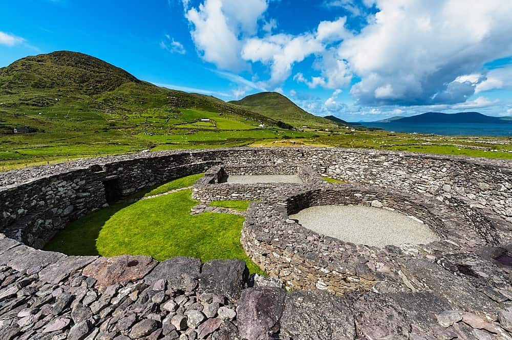 Fairy fort / earthen ringfort in Lauragh LowerFairy fort / earthen ringfort · 269 yd
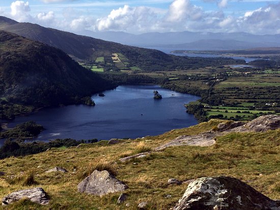 Man-made underground passage in Lauragh LowerMan-made underground passage · 396 yd
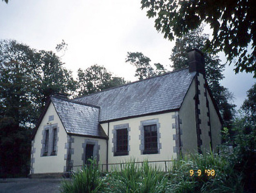 Lauragh National Schoolschool · 450 yd
 Mourlin Br.Bridge · 496 yd
 New Zealand broadleafNew Zealand broadleaf · 1046 yd
 Japanese cedarJapanese cedar · 1093 yd
 KnockastumpaMountain / peak · 1.2 mi
 KnockateeMountain / peak · 1.5 mi
 Crane IslandIslet · 1.6 mi
 Duck RockIslet · 1.6 mi
 DroppaCliff · 3.4 mi
 Mare's Tail WaterfallViewpoint · 4.9 mi