What is recorded here
Slieve Roe is recorded as a mountain / peak in County Down. Its open map record supplies this location and any linked names or public references.
Slieve Roe is a low mountain in County Down, reaching approximately 400 metres in height. It is part of the Mourne Mountains range, composed largely of gneiss and granite, and the area is known for its scenic beauty and walking trails.
Places near here
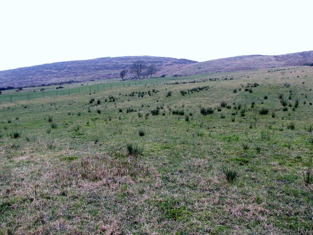 Slieve RoosleyMountain / peak · 1642 yd
 ROUND CAIRN: CARNADRANNA in Carmeen; EdentrumlyROUND CAIRN: CARNADRANNA · 1.4 mi
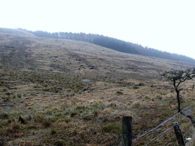 Crotlieve MountainMountain / peak · 1.6 mi
 Yellow Water picnic sitePicnic place · 1.8 mi
 Santas CottageHeritage attraction · 2.1 mi
 ENCLOSURE in AghavillyENCLOSURE · 2.3 mi
 Ballymoney WoodForest · 2.5 mi
.jpg?width=1280) Kilbroney HouseHouse · 2.6 mi
Kilbroney HouseHouse · 2.6 mi Rostrevor ForestForest · 2.7 mi
 CROSSES (2); MULTIPERIOD CHURCH; GRAVEYARDS; HOLY WELL: KILBRONEY or ST.BRIDGET'S WELL in KilbroneyCROSSES (2); MULTIPERIOD CHURCH; GRAVEYARDS; HOLY WELL: KILBRONEY or ST.BRIDGET'S WELL · 2.7 mi
 Leitrim Lodge Picnic AreaPicnic place · 2.7 mi
 NATURAL FEATURE: PIERCE'S CASTLE in LeitrimNATURAL FEATURE: PIERCE'S CASTLE · 3.1 mi