
What is recorded here
Pierce's Castle in Leitrim defies its own name, for no stone tower or human hand built the ridge where the land still stands. The boundary between counties and centuries blunts on that slope, leaving a shape large enough to occupy but empty enough to resist explanation. A castle suggests a keeper, a chamber and a door, yet the hill offers none of those things. It keeps only the fact that people looked up, named the outline and went home with the image still trembling in them.
The official Northern Ireland record identifies this as NATURAL FEATURE: PIERCE'S CASTLE. Recorded period: UNCERTAIN. The official map point was placed at the centre of the recorded archaeological site from the source map reference.
Pierce's Castle in Leitrim is a natural feature, likely a hill or rocky outcrop, that was given a castellated name, possibly reflecting early medieval or Gaelic earthwork traditions. Its significance lies in its inclusion in archaeological records, indicating it was considered a site of local historical or strategic interest, though its exact use and date remain uncertain.
The monument record does not grant public access. Check the route and ask the landowner before entering private land.
- What survives
- Recorded monument
Places near here
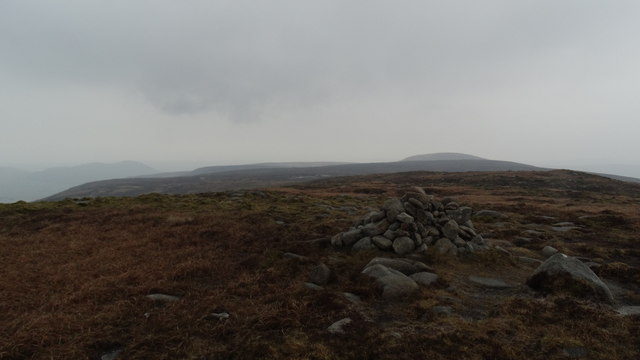 ShanlieveMountain / peak · 1583 yd
 Eagle MountainMountain / peak · 1617 yd
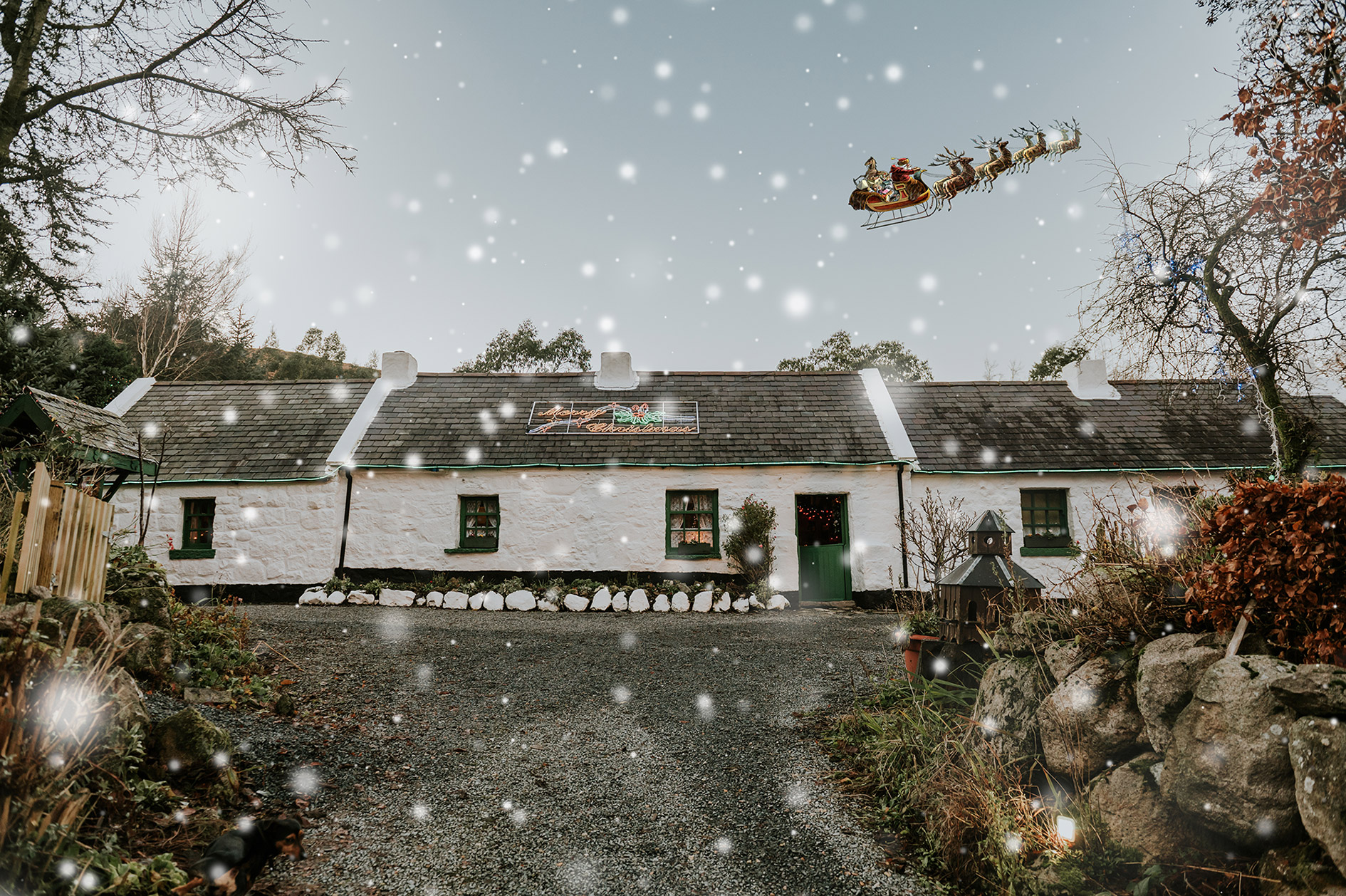 Santas CottageHeritage attraction · 1.0 mi
 Leitrim Lodge Picnic AreaPicnic place · 1.2 mi
 Cock, Hen, PigeonWalking route · 1.4 mi
 CROSS-CARVED BOULDER in BallyaughianCROSS-CARVED BOULDER · 1.6 mi
 Yellow Water picnic sitePicnic place · 1.9 mi
 Pigeon RockCliff · 2.0 mi
 West TorCliff · 2.3 mi
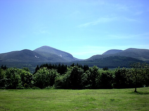 Mourne MountainsMountain range · 2.5 mi
 Crocknafeola WoodForest · 2.9 mi
 ENCLOSURE in CarcullionENCLOSURE · 2.9 mi
Other information
Photo: Eric Jones · CC BY-SA 2.0