
What is recorded here
Carnadranna still stands as a round cairn in County Down, marked prehistoric and unchanged since people stopped laying stones there. It is not a building or a boundary, but a heap of intention: local, visible, and older than every name spoken above it.
The official Northern Ireland record identifies this as ROUND CAIRN: CARNADRANNA. Recorded period: PREHISTORIC. The official map point was placed at the centre of the recorded archaeological site from the source map reference.
Round cairn, dating to the Neolithic or Bronze Age periods. Such cairns are often associated with burial practices and ritual activity in prehistoric Ireland.
The monument record does not grant public access. Check the route and ask the landowner before entering private land.
- What survives
- Recorded monument
Places near here
 ENCLOSURE: LISDOO FORT in BallydulanyENCLOSURE: LISDOO FORT · 1.1 mi
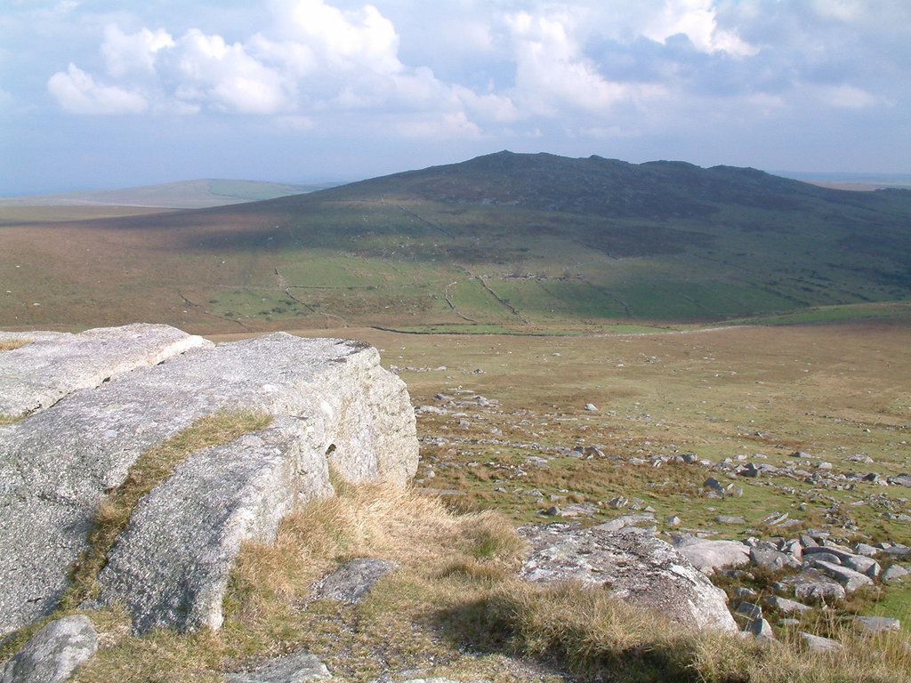 ENCLOSURE in Ballygorian MoreENCLOSURE · 1.9 mi
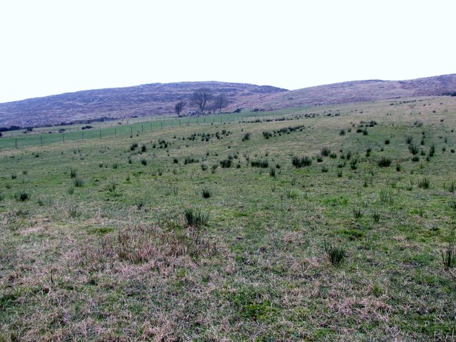 Slieve RoosleyMountain / peak · 2.2 mi
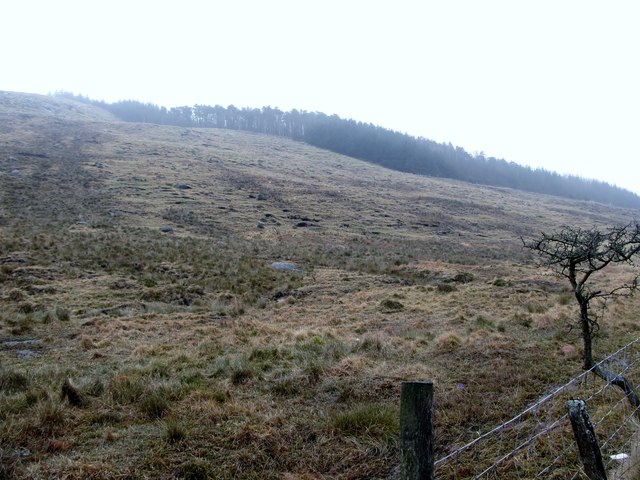 Crotlieve MountainMountain / peak · 2.3 mi
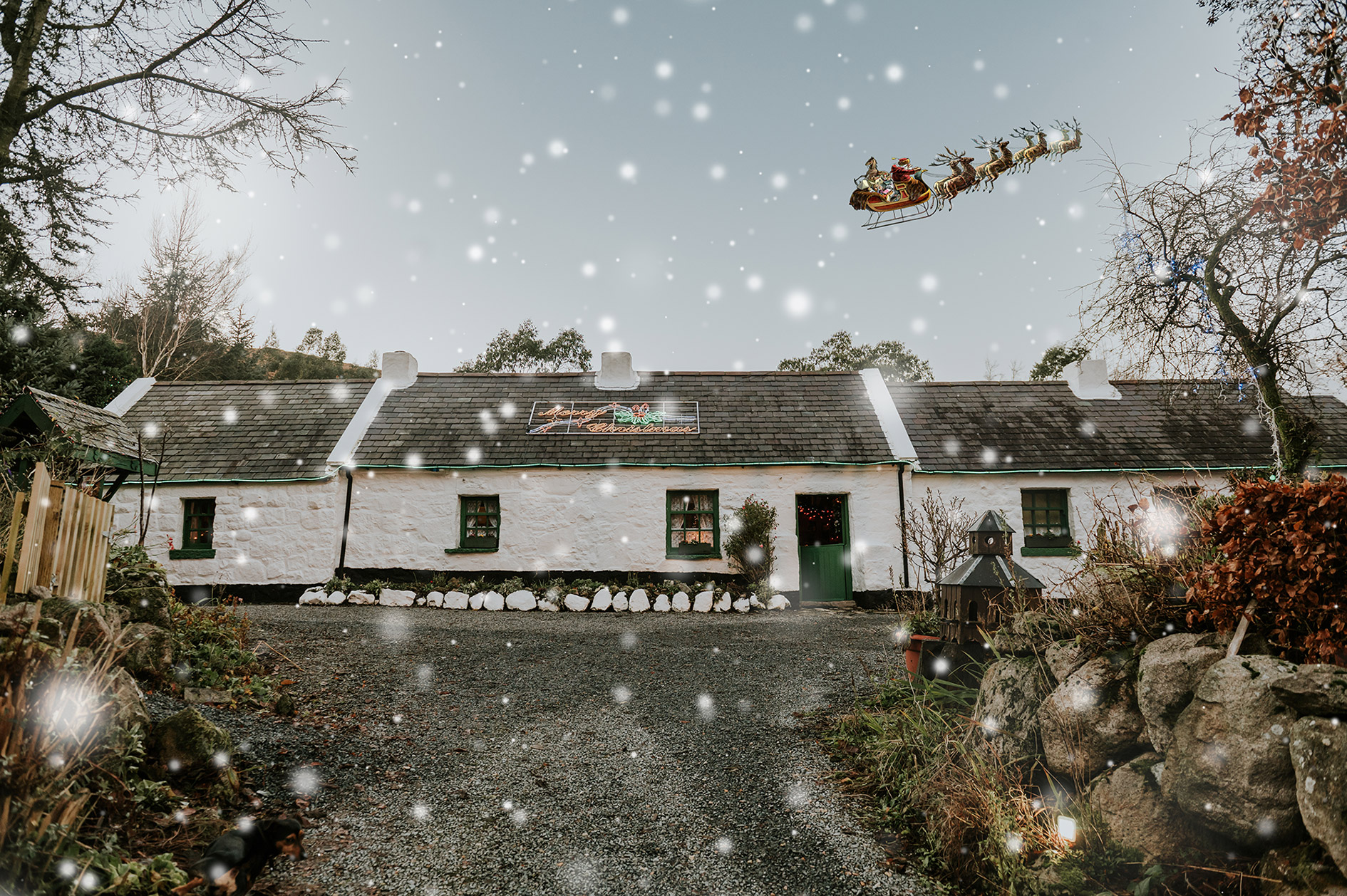 Santas CottageHeritage attraction · 2.5 mi
 Downshire ArmsHotel · 2.6 mi
 Leitrim Lodge Picnic AreaPicnic place · 2.7 mi
 Hilltown LodgeHouse · 2.9 mi
 Yellow Water picnic sitePicnic place · 3.0 mi
 NATURAL FEATURE: PIERCE'S CASTLE in LeitrimNATURAL FEATURE: PIERCE'S CASTLE · 3.5 mi
 Ballymoney WoodForest · 3.8 mi
 West TorCliff · 4.0 mi
Other information
Photo: Eric Jones · CC BY-SA 2.0