
What is recorded here
Mounds and cairns still mark the hill, though human hands built them before written memory. The north cairn stands as a stone witness on Slieve Gullion, waiting for people to walk past or climb toward it. What it marked, who gathered there and when they stopped coming has faded from the facts supplied here. The hill keeps its shape, holds its stones and leaves the rest behind rain, grass and time.
Slieve Gullion North Cairn is recorded as a archaeological place in County Armagh. Its open map record supplies this location and any linked names or public references.
Places near here
 Ring of GullionRing of hills and protected landscape · 324 yd
 Slieve GullionMountain / peak · 959 yd
 Slieve Gullion South CairnArchaeological place · 960 yd
 St Moninna's WellSpring · 1.0 mi
 Killeavy CastleCastle · 1.2 mi
 EARLY CHRISTIAN & MEDIEVAL CHURCHES, GRAVEYARD, AUGUSTINIAN NUNNERY & ROUND TOWER: KILLEVY CHURCHES in BallintempleEARLY CHRISTIAN & MEDIEVAL CHURCHES, GRAVEYARD, AUGUSTINIAN NUNNERY & ROUND TOWER: KILLEVY CHURCHES · 1.3 mi
 Killevy ChurchesVisitor information · 1.3 mi
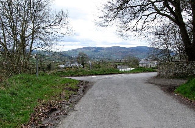 Killevy Churches AONB SignVisitor information · 1.3 mi
 ENCLOSURE (rath) & Man-made underground passage (unlocated) in BallintempleENCLOSURE (rath) & Man-made underground passage (unlocated) · 1.4 mi
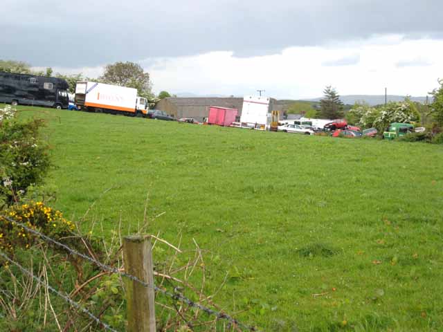 Carn HillMountain / peak · 2.3 mi
 SlievenacappelMountain / peak · 2.5 mi
 Mass Rock Loop TrailWalking route · 3.1 mi
Other information
Photo: Ross · CC BY-SA 2.0