
What is recorded here
One chamber is an enclosed rath, the other a man-made underground passage in Ballintemple. The first may have kept people, animals or ceremony inside a visible line. The second may have let them leave, hide or be remembered beneath the ground.
The official Northern Ireland record identifies this as ENCLOSURE (rath) & Man-made underground passage (unlocated). Recorded period: E.CHRIST.; UNCERTAIN. The official map point was placed at the centre of the recorded archaeological site from the source map reference.
The monument record does not grant public access. Check the route and ask the landowner before entering private land.
- What survives
- Recorded monument
Places near here
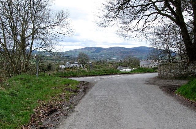 Killevy Churches AONB SignVisitor information · 83 yd
 Killevy ChurchesVisitor information · 110 yd
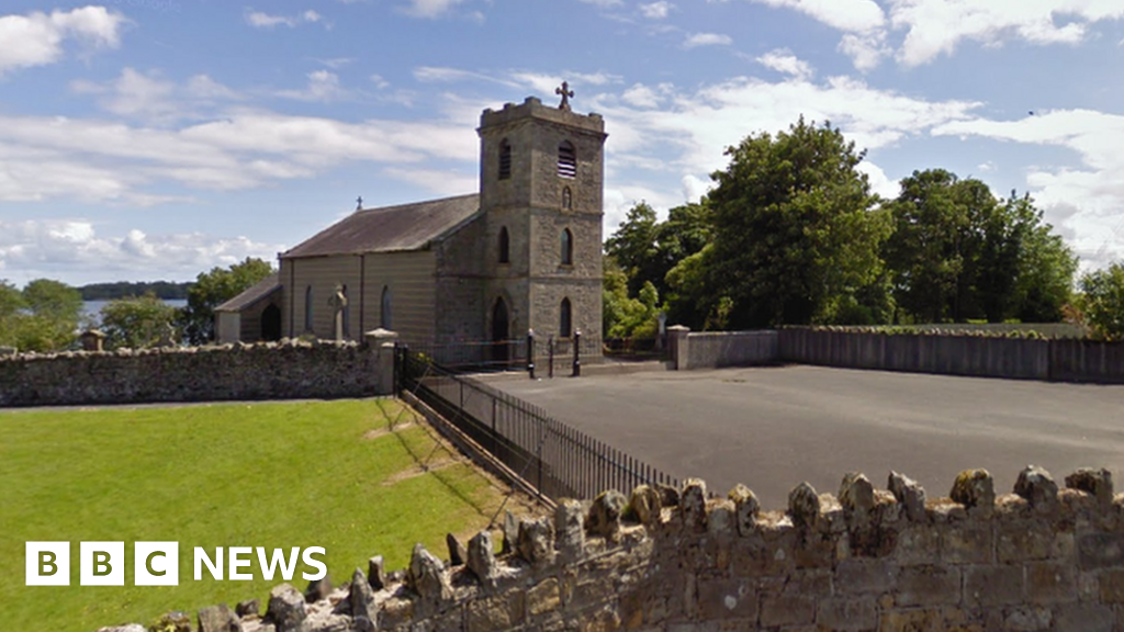
 EARLY CHRISTIAN & MEDIEVAL CHURCHES, GRAVEYARD, AUGUSTINIAN NUNNERY & ROUND TOWER: KILLEVY CHURCHES in BallintempleEARLY CHRISTIAN & MEDIEVAL CHURCHES, GRAVEYARD, AUGUSTINIAN NUNNERY & ROUND TOWER: KILLEVY CHURCHES · 112 yd
 St Moninna's WellSpring · 602 yd
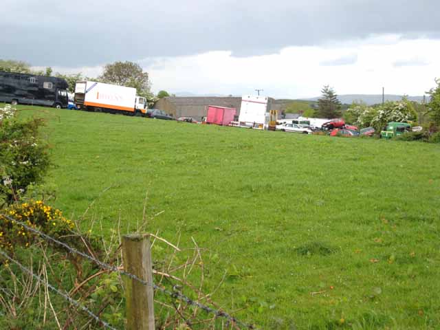
 ENCLOSURE (unlocated) in BallinlissENCLOSURE (unlocated) · 1365 yd
 Carn HillMountain / peak · 1692 yd
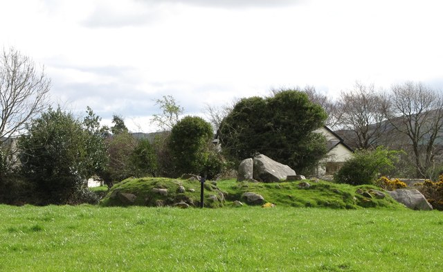 ROUND CAIRN WITH PORTAL TOMB: SOUTH CAIRN in ClonlumROUND CAIRN WITH PORTAL TOMB: SOUTH CAIRN · 1.0 mi
 Killeavy CastleCastle · 1.0 mi
 Ring of GullionRing of hills and protected landscape · 1.2 mi
 Slieve GullionMountain / peak · 1.5 mi
 Ballymacdermot MountainMountain / peak · 1.9 mi
 Drumalane MillFactory · 3.4 mi
Other information
Photo: Credit not shown in the picture search · Rights wording not checked; contact us if this picture should be removed