What is recorded here
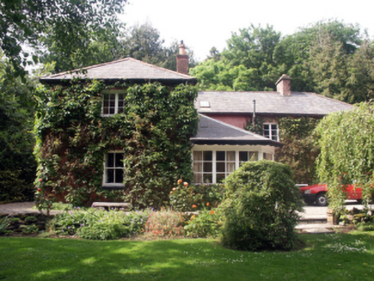
Detached three-bay single-storey house with half-dormer attic, extant 1839, on an L-shaped plan centred on single-bay single-storey projecting glazed porch abutting single-bay full-height projecting end bay; two-bay (west) or single-bay (east) full-height side elevations with three-bay full-height rear (north) elevation. In alternative use, 1839. Hipped slate roof on an L-shaped plan with terracotta ridge tiles, red brick Running bond chimney stacks having stepped capping supporting terracotta octagonal pots, central rooflight to front (south) pitch, and cast-iron rainwater goods on roughcast eaves retaining cast-iron downpipes. Part creeper- or ivy-covered roughcast walls. Central door opening. Square-headed window openings with cut-granite sills, and concealed dressings framing two-over-two timber sash windows (ground floor) or timber casement windows (half-dormer attic). Square-headed central door opening to rear (north) elevation with cut-granite block-and-start surround framing coursed rubble stone infill. Set in landscaped grounds with rear (north) elevation fronting on to road.
A house representing an integral component of the domestic built heritage of Bunclody with the architectural value of the composition suggested by such attributes as the deliberate alignment maximising on scenic vistas overlooking the River Slaney; the angular plan form centred on a restrained doorcase; the somewhat disproportionate bias of solid to void in the massing; and the roof showing a small cut slate finish. Having been well maintained, the elementary form and massing survive intact together with substantial quantities of the historic or original fabric, both to the exterior and to the interior, thus upholding the character or integrity of a house making a pleasing visual statement in a sylvan street scene. NOTE: Occupied as a garrison following the so-called "Battle of Newtownbarry" (1st June 1798) and subsequently named as "Infantry Barracks" on the first edition of the Ordnance Survey (surveyed 1839; published 1841).
This does not grant access. Most recorded buildings are privately owned; view them only from public ground unless the owner allows entry.
Places near here
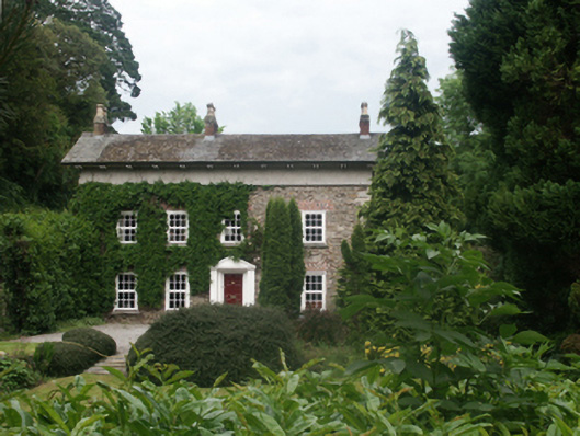 Slaney Lodgehouse · 85 yd
 cobbles/flags/paving/kerbingcobbles/flags/paving/kerbing · 90 yd
 1798 rebellion Battle of Newtownbarry (AKA Bunclody) commemorative plaqueMemorial · 124 yd
 Bunclody 1798 Bicentenary MemorialMemorial · 245 yd
 Common LimeCommon Lime · 281 yd
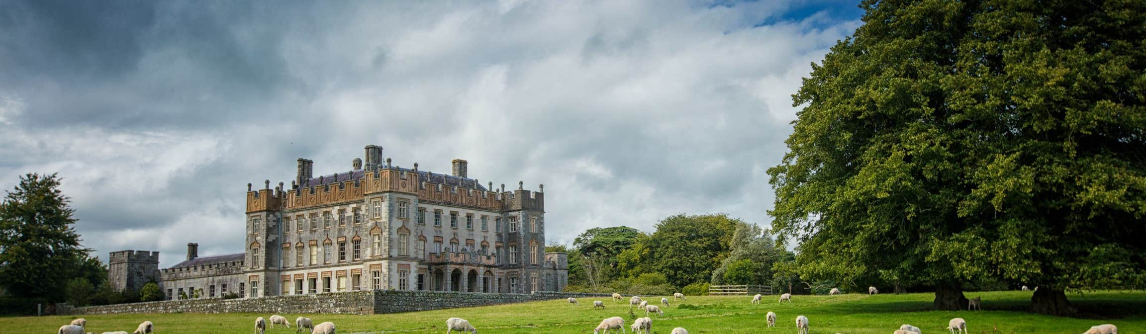 Round O RathEnclosure · 836 yd
 Carrickduff WoodWood · 1.1 mi
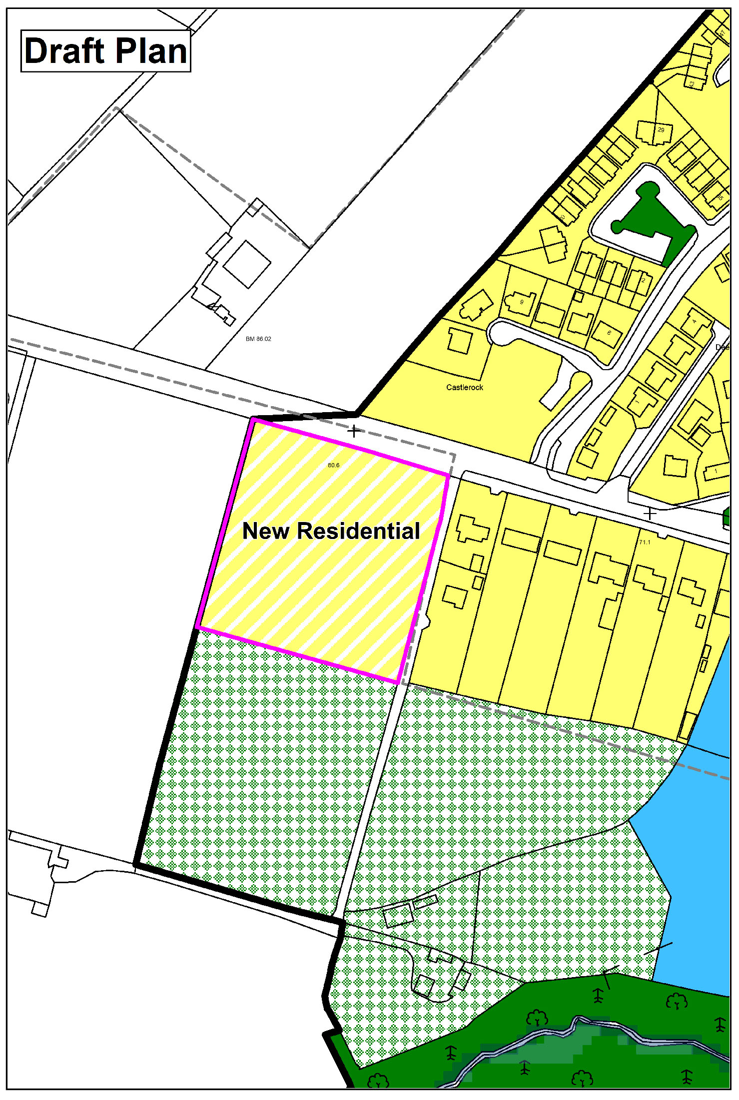 Enclosure in CarrickduffEnclosure · 1.1 mi
 Site of Clonmullen CastleCastle, unclassified · 1.5 mi
 Ryland Castle (in ruins)Castle, unclassified · 1.7 mi
 Barragh Church (in ruins), GraveyardChurch · 1.8 mi
 John's HillMountain / peak · 2.3 mi
Other information
Photo: National Inventory of Architectural Heritage · Website use allowed for educational or private purposes with source credit