What is recorded here
Located immediately to S of a church (MA033A003004-), in the SE quadrant of a cashel (MA033A003001-), on Duvillaun More Island.
Henry (1937, 272) recorded this as ‘a long rectangular grave which local tradition calls ‘the Tomb of the Saint.’ It consists of a rectangular area (2.35m E-W; 1.05m N-S) defined by a number of thin upright slabs (L 0.5-0.93m; H 0.2-0.25), set on edge. The long N and S sides are gapped, with only a single long slab (L 0.85m on S side, 0.93m on N side) in situ on each side. Most of the slabs barely protrude above the sod. A cross slab (MA033A003002-) stands at the W end.
Attached image:
MA033A003003-_01 Low slabs outline the grave at foot of cross-slab (MA003A003002-). Viewed from E.
Compiled by: Jane O'Shaughnessy
Date of upload: 27 February 2018
Slab-lined burial in Dubhoileán Mór is a medieval Christian burial site, likely associated with the nearby church and cashel. Its location suggests a connection to early monastic or ecclesiastical settlement in the area.
The monument record does not grant public access. Check the route and ask the landowner before entering private land.
- What survives
- Recorded monument
Places near here
 Church in Dubhoileán MórChurch · 3 yd
 Dubhoileán MórIsland · 258 yd
 Promontory fortPromontory fort, coastal · 527 yd
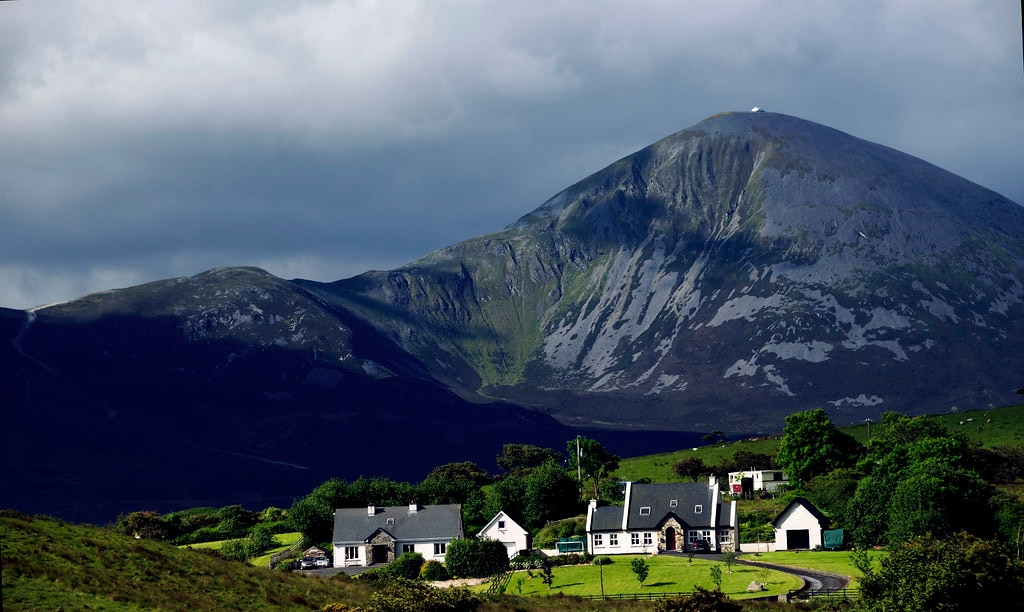 Holy WellHoly well · 949 yd
 Droim an ChapaillIslet · 1249 yd
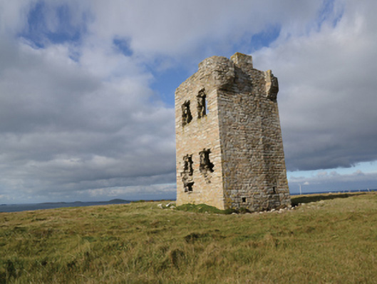 Glash Signal Towersignal tower · 2.7 mi
 Termon BeachBeach / strand · 4.2 mi
 AskilgubroenacoraghHeadland · 4.2 mi
 Saddle HeadHeadland · 4.3 mi
 Annagh StrandBeach / strand · 5.4 mi
 Site of Redmond Barretts CastleCastle, unclassified · 5.4 mi
 SlievemoreMountain / peak · 6.3 mi