What is recorded here
Located at the crest of the S-facing slope of the most south-western summit of Forth Mountain and close to Skeater Rock. A cairn of stones (diam. c. 30m) was removed in 1884 when a 'bowl food vessel' was discovered (Ffrench 1895). The cairn was completely removed and its precise location is not known (Culleton 1984, 33-4).
Archaeological testing (22E0169) by C. Moriarty c. 45m to the W produce no evidence of the cairn (excavations.ie 2022:024).
The above description is derived from the published 'Archaeological Inventory of County Wexford' (Dublin: Stationery Office, 1996). In certain instances the entries have been revised and updated in the light of recent research.
Compiled by: Michael Moore
Date of revision: 8 February 2016
Amended: 23 December 2022
Neolithic cairn; dates to the early to middle Neolithic period (c. 4000–3000 BCE). Its significance lies in the discovery of a bowl food vessel, indicating ritual or funerary practices associated with early farming communities in the region.
The monument record does not grant public access. Check the route and ask the landowner before entering private land.
- What survives
- Recorded monument
Places near here
 Skeater RockMountain / peak · 17 yd
 Carrickatinna RockMountain / peak · 539 yd
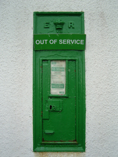 post boxpost box · 624 yd
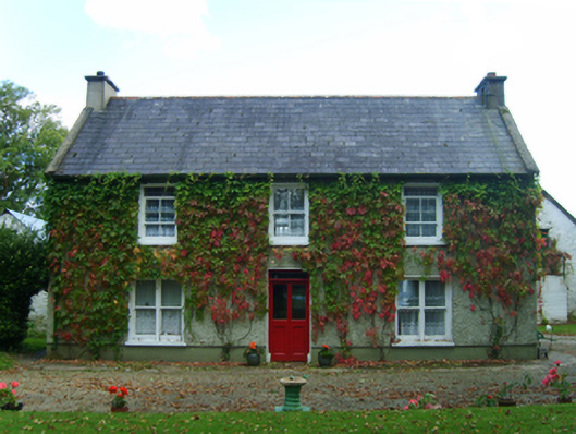 Casey's Cross Housefarm house · 1445 yd
 Site of CastleCastle, unclassified · 1.0 mi
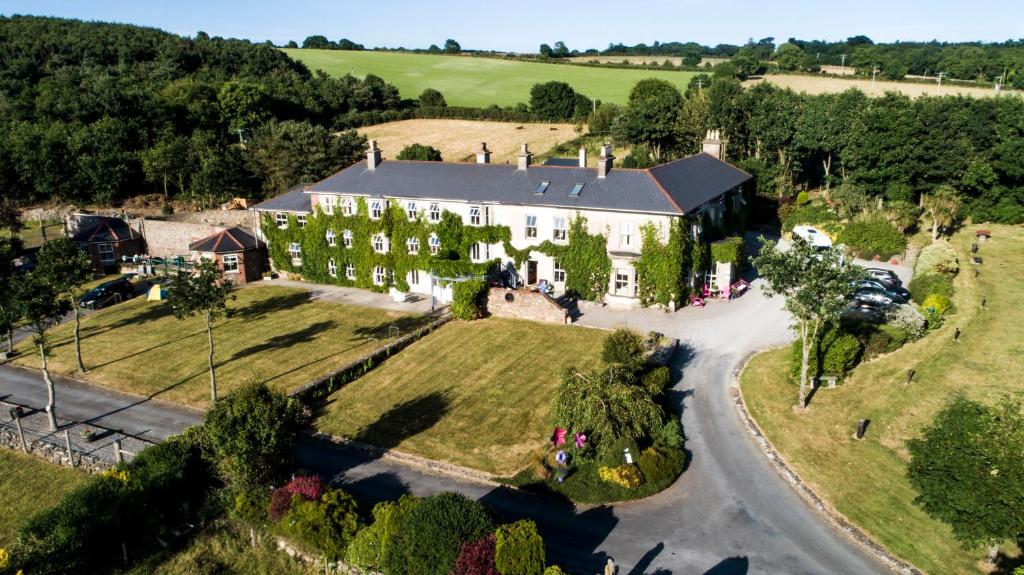 Bawn in Durra BigBawn · 1.2 mi
 Trinity WellHoly well · 1.2 mi
 St. Mannans WellHoly well · 1.4 mi
 Dawn RedwoodDawn Redwood · 2.9 mi
 Japanese cedarJapanese cedar · 3.0 mi
 Irish Agricultural MuseumMuseum · 3.1 mi
 Johnstown Castle Visitor CentreHeritage attraction · 3.1 mi