What is recorded here
Situated -n an area of grassland with possible ringfort annotated as 'Raheen' (WM011-079----) immediately to NE with Shanwallia House 80m to S. Depicted on the 1837 OS Fair Plan map and annotated as ‘Site of Sweat House’. Small building annotated as 'Site of Sweat Ho.' on 1837 ed. OS 6-inch map. No surface remains visible of Sweat House which had been levelled before 1837.
Compiled by: Frank Coyne and Caimin O'Brien
Date of upload: 24 August 2017
The monument record does not grant public access. Check the route and ask the landowner before entering private land.
- What survives
- Recorded monument
Places near here
 RaheenFairy fort / earthen ringfort · 34 yd
 Partially indicatedFairy fort / earthen ringfort · 486 yd
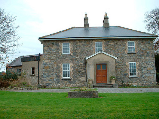 Grange Hallhouse · 983 yd
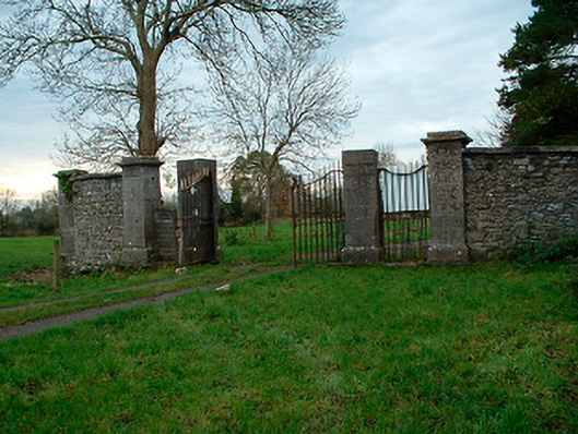 Tristernagh Housedemesne walls/gates/railings · 1106 yd
 Baronstown ForestWood · 1259 yd
 Horse-chestnutHorse-chestnut · 1513 yd
 Site of Castle, Castle FieldCastle, unclassified · 1757 yd
 CastleCastle, motte and bailey · 1.0 mi
 Craft WorkshopHeritage attraction · 8.7 mi
 Guest ServicesVisitor information · 8.7 mi
 Newcastle WoodsForest · 9.3 mi
 Rock of CurryCliff · 12 mi