What is recorded here
St. Johns Priory stood in the suburbs of Tuam from roughly 1140 until at least 1574, serving Augustinian canons and possibly the sick before becoming an abbey around 1360. James Morris drew it as an L-shaped building in 1720, yet even the cemetery named for it had vanished from later plans. A lone high-cross head still lies near the site, guarding a house the town forgot but never fully buried.
In the Circular-Rd area, in the centre of Tuam town (GA029-199----): its site is marked on OS 6-inch maps a short distance to NW of 'St. John's Abbey', a late 18th-C house (see Ó Murchú 1970, 14-15). Described as being 'in the suburbs' of Tuam c. 1304 (Gwynn and Hadcock 1970, 197, also 216). Dedicated to St John the Evangelist, it appears to have been founded by Turloch O'Conor c. 1140 as a priory or hospital, probably adopting Arroasian observance (Augustinian canons) shortly afterwards. It became an abbey c. 1360 and appears to have continued in use until at least 1574 (ibid., 197). Depicted on James Morris's 1720 map of Tuam as an L-shaped building, aligned N-S. No visible trace of it survived by the time of OS Letters (O'Flanagan 1927, Vol. 1, 61) but 1:1056 OS town plan of Tuam (1827-42) shows a rectangular area (22m by 16m) named 'Cemetery of St. John's' between Circular Rd and Dublin Rd. A commemorative plaque, near the entrance to St John's Abbey, marks the site. The head of a high cross (GA029-184002-) was found close by.
The above description is derived from the published 'Archaeological Inventory of County Galway Vol. II - North Galway'. Compiled by Olive Alcock, Kathy de hÓra and Paul Gosling (Dublin: Stationery Office, 1999).
Date of upload: 05 August 2010
This remains an important historical record, but the official description says the monument is no longer visible or has been destroyed. The monument record does not grant public access. Check the route and ask the landowner before entering private land.
- What survives
- No visible remains or recorded as destroyed
Places near here
 CrossCross, High cross · 1 yd
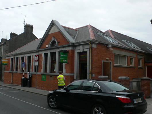 Tuam Post Officepost office · 41 yd
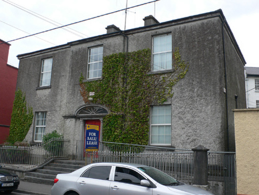 Eastland Househouse · 82 yd
 Cross in Townparks (2nd Division - Tuam)Cross · 200 yd
 CastleCastle, unclassified · 211 yd
 Castle (in ruins)Castle, tower house · 2.1 mi
 European ashEuropean ash · 2.5 mi
 Mass RockNamed rock · 3.6 mi
 KnockmaaWood · 5.2 mi
 Kilcoona Round TowerHeritage attraction · 9.0 mi
 Ballinduff BayBay · 11 mi
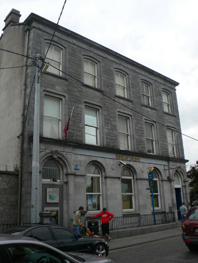 Bank of Irelandbank/financial institution · 82 yd