
What is recorded here
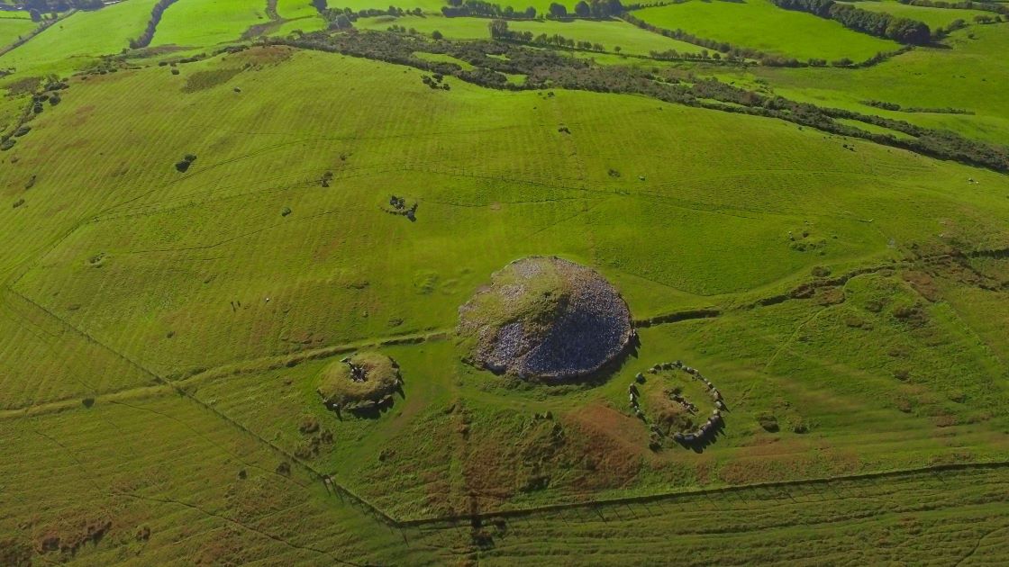
Half a metre of scarp and a vanished fosse mark Rathkenny Fort on a west-facing slope in County Meath. The ring has narrowed from thirty-eight metres on old maps to barely twenty across, yet it still holds its shape beneath grass. People may have lived inside that shallow circle before the land took it back, leaving no gate or glint of ownership behind.
Located towards the bottom of a W-facing slope. This is depicted as a circular embanked feature (ext. diam. c. 38m) annotated as the ‘Site of Rathkenny Fort’ on the 1836 edition of the OS 6-inch map and as the ‘Rathkenny Fort (Site of)’ on the 1908 edition. It was described in 1968 (SMR file) as a subcircular grass-covered area (dims 22.7m N-S; 19m E-W) defined by a scarp (H 0.5m at S to 1.15m at W), with an outer fosse (at S: Wth of top 3m; ext. D 0.35m) that was absent at W. An entrance was not identified.
The above description is derived from the published 'Archaeological Inventory of County Meath' (Dublin: Stationery Office, 1987). In certain instances the entries have been revised and updated in the light of recent research.
Compiled by: Michael Moore
Date of upload: 10 July 2007
Amended: 3 August 2022
The monument record does not grant public access. Check the route and ask the landowner before entering private land.
- What survives
- Recorded monument
Places near here
 European YewEuropean Yew · 215 yd
 Druids AltarPortal tomb · 425 yd
 IndicatedEnclosure · 1409 yd
 CastleCastle, tower house · 1413 yd
 Simpson's MountainMountain / peak · 1.2 mi
 Fox CovertForest · 1.3 mi
 milestone/milepostmilestone/milepost · 1.7 mi
 farm housefarm house · 1.7 mi
 Mullagha HillMountain / peak · 1.9 mi
 Stokestown CastleCastle, unclassified · 3.1 mi
 Nobber GreenwayMemorial · 5.6 mi
 Pat's Art StudioGallery · 5.9 mi
Other information
Photo: Credit not shown in the picture search · Rights wording not checked; contact us if this picture should be removed