What is recorded here
Musketry Bay, County Cork: A Protestant chapel stood within a rectangular field until demolition reduced it to sod-covered foundations. The T-shaped frame measured twenty-two metres east-west with an eleven-metre southern extension, large enough for congregational worship but now invisible except through low stone edges beneath grass. Its disappearance from later maps erased the building while the earth retained its geometry.
Marked on 1842 OS 6-inch map as outline of T-shaped structure (c. 20m E-W; c. 8m N-S: extension to S c. 10m x c. 5m) within rectangular field (c. 40m N-S; c. 30m E-W). Not marked on later editions of map. Church levelled but sod-covered foundations of T-shaped structure (22m E-W; 6m N-S: extension to S 11m N-S; 5m E-W) remain.
The above description is derived from the published 'Archaeological Inventory of County Cork. Volume 4: North Cork' (Dublin: Stationery Office, 2000). In certain instances the entries have been revised and updated in the light of recent research.
Date of upload/revision: 14 January 2009
The monument record does not grant public access. Check the route and ask the landowner before entering private land.
- What survives
- Recorded monument
Places near here
 Enclosure in KnockardamrumEnclosure · 742 yd
 Ban a tSusaFairy fort / earthen ringfort · 792 yd
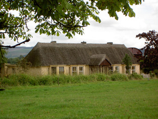 Ballynoran Househouse · 1654 yd
 CastleCastle, motte · 1.0 mi
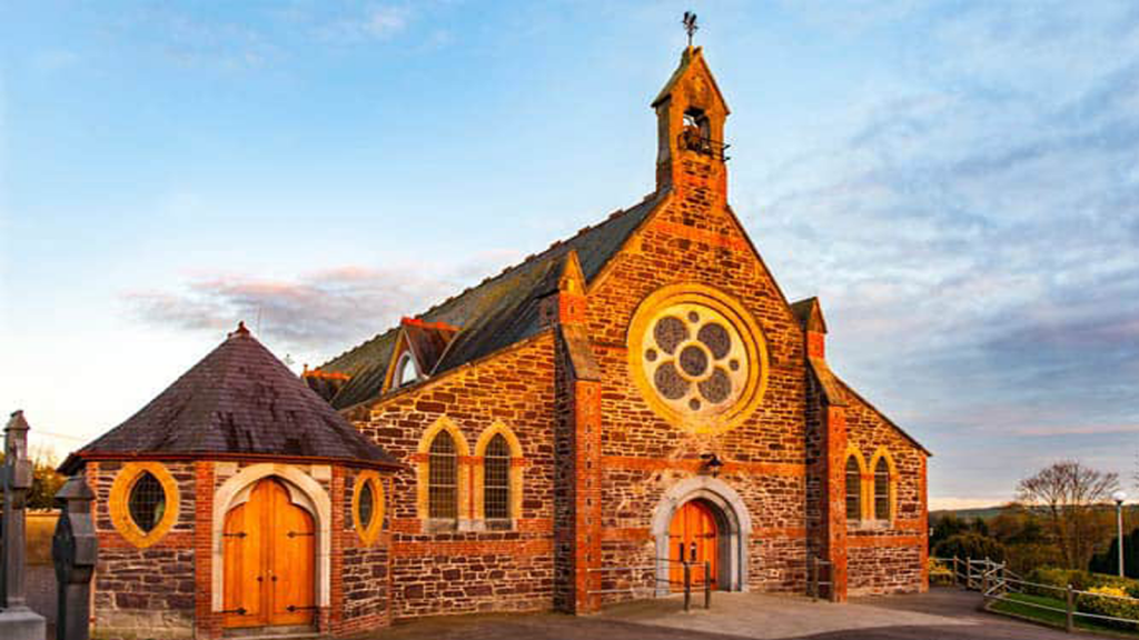 Cooliney Church (in Ruins)Church · 1.1 mi
 Castle Harrison on Site of Castle (19*Castle, unclassified · 1.3 mi
 Holy Cross CemeteryGraveyard · 1.8 mi
 CarrigeenMountain / peak · 3.3 mi
 BallinaboolaVisitor information · 3.3 mi
 Ballyhoura WayWalking route · 3.5 mi
 Windmill HillMountain / peak · 3.8 mi
 Rogan's Rock CovertWood · 5.2 mi