
What is recorded here
Described in gothic script as ‘Mac Murroughs Castle (Site of)’ on the 1839 an 1940 eds of the OS 6-inch map and situated on a rise of rock outcrop in the narrow flood plain of the E-W River Barrow at a place called the Island, with a small S-N stream known as the Maudlin River entering the Barrow just to the W. Traditionally it is associated with Dermot MacMurrough and Strongbow (Hore 1900-11, vol. 1, 131), probably through a mis-interpretation of ‘de insula’ for this place rather than Great Island (WX039-028001-). Cahair McArt of Macmurroughs island attacked Fethard (WX050-011----) in 1537 at the instigation of John Purcell, Bishop of Ferns, and plundered 20 of the inhabitants. They drove off 115 cattle, including some belonging to the bishop, which His Lordship subsequently and secretly recovered (ibid. vol. 4, 322-3). According to the Civil Survey (1654-6) sixty acres at the Island in the Liberties of Ross were owned by Edward Fitzharris, an Irish papist, in 1641, but there is no mention of a castle (Simington 1953, 251).
The remains of a rectangular building (int. dims. 14.5m E-W; 5.1-6.25m) defined by faced drystone walls (T 0.65-0.8m; max. H 0.3m), that was probably occupied only since the 17th
century were found in excavation by C. Cotter (1985; 1986-7). Also recovered was evidence of prehistoric activity in a stone axe and flints from disturbed contexts. It now lies under the N30 New Ross to Enniscorthy road. (Cotter, C 1986, 41; 1986-7, 33-49)
The above description is derived from the published 'Archaeological Inventory of County Wexford' (Dublin: Stationery Office, 1996). In certain instances the entries have been revised and updated in the light of recent research.
Compiled by: Michael Moore
Date of upload/revision: 1 August, 2012
Amended: 17 January, 2014
The monument record does not grant public access. Check the route and ask the landowner before entering private land.
- What survives
- Recorded monument
Places near here
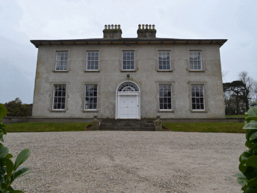 Woodville Housecountry house · 340 yd
 Mount Garrett Bridgebridge · 457 yd
 TobernacallyHoly well · 577 yd
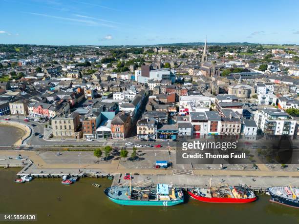 IndicatedBawn · 1069 yd
 Sweathouse in Ballyroe UpperSweathouse · 1.1 mi
 Castle (in ruins)Castle, unclassified · 1.8 mi
 O'NeillMemorial · 1.9 mi
 DunbrodyHeritage attraction · 2.0 mi
 Ros Tapestry ExhibitionGallery · 2.0 mi
 Crutched FriarsMemorial · 2.0 mi
 Forest Of The DunbrodyForest · 2.1 mi
 Lacken HillMountain / peak · 2.3 mi
Other information
Photo: Credit not shown in the picture search · Rights wording not checked; contact us if this picture should be removed