What is recorded here
Kilconnell church vanished beside the Liagan stone, but neither marker survives to prove the loss. O’Flanagan wrote in 1927 that the standing stone was already destroyed, turning a sacred neighbourhood into an empty field. Whatever the stone guarded, human hands removed it before modern memory could hold it.
Associated with a church (GA086-124001-). According to OS Letters (O'Flanagan 1927, Vol. 1, 593-4), the above mentioned church stood 'near a standing stone called the Liagan of Kilconnell which is … now destroyed'. No visible surface trace of either structure survives. Possibly a standing stone or a boundary marker associated with the church.
The above description is derived from the published 'Archaeological Inventory of County Galway Vol. II - North Galway'. Compiled by Olive Alcock, Kathy de hÓra and Paul Gosling (Dublin: Stationery Office, 1999).
Date of upload: 05 August 2010
This remains an important historical record, but the official description says the monument is no longer visible or has been destroyed. The monument record does not grant public access. Check the route and ask the landowner before entering private land.
- What survives
- No visible remains or recorded as destroyed
Places near here
 Church of Kilconnell (Site of)Church · 1 yd
 R. C. ChapelChurch · 79 yd
 Kilconnell AbbeyHeritage attraction · 171 yd
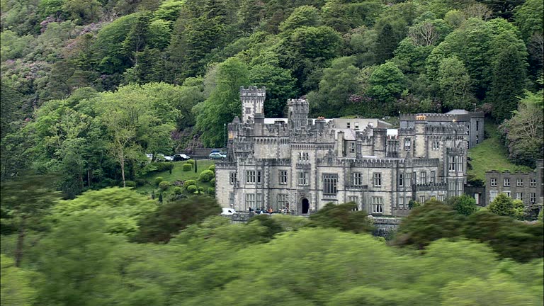 IndicatedHoly well · 172 yd
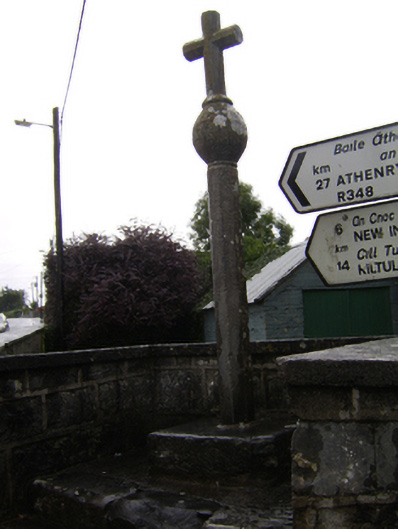 crosscross · 286 yd
 Castle (in Ruins)Castle, unclassified · 2.0 mi
 Ballynabanaba CastleCastle, tower house · 2.1 mi
 Large-leaved LimeLarge-leaved Lime · 2.9 mi
 Oak WoodWood · 3.0 mi
 Battle of Aughrim Interpretative CentreMuseum · 3.9 mi
 Battle of AughrimMajor battlefield · 4.4 mi
 The bloody HollowHeritage attraction · 4.7 mi