What is recorded here
Killeen Grave Yard vanished beneath Kilkenny pasture, leaving behind only a name and a faint rectangular shadow where dead people once slept. The place gave its identity to the townland before human memory stretched back far enough to argue about the loss. Forgetting is not the same as removing; it is dropping the rope into dark water and walking away.
In pasture. Indicated on the 1st (1839) OS 6-inch map as, 'Site of Killeen Grave Yard', though the precise location of the burial ground is unclear. It is not indicated on the 1900 revision. A small rectangular paddock (dims. c. 50m N-S; c. 15m E-W) associated with a farmyard, to the right (E) of the notation, may be the location. Both it and the farmyard have since been levelled, though the E boundary of the paddock has been retained as a field boundary. According to the OS Letters (1839), there is in this parish, 'the site of an old graveyard which gave name to the Townland of Killeen' (O'Flanagan 1930, vol. 2, 7 (3)).
Compiled by: Jean Farrelly
Date of upload: 1 March 2022
The monument record does not grant public access. Check the route and ask the landowner before entering private land.
- What survives
- Recorded monument
Places near here
 Ballyduff RingfortArchaeological place · 602 yd
 Enclosure in Killeen WestEnclosure · 1101 yd
 Ballykeenan Locklock · 1.3 mi
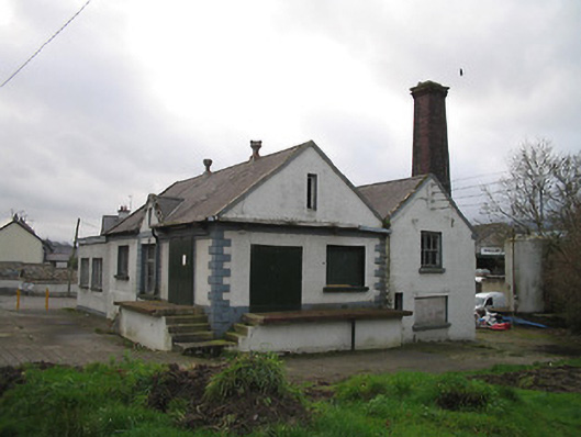 Graiguenamanagh Creamerycreamery · 1.4 mi
 The PoundMemorial · 1.4 mi
 Castle (in ruins)Castle, tower house · 1.5 mi
 ClashgannyWood · 1.5 mi
 Keating's WellSpring · 1.5 mi
 Widow's CottagesMemorial · 1.5 mi
 The Burrow FieldForest · 1.5 mi
 CastleCastle, motte · 1.6 mi
 The Barrow WayVisitor information · 1.8 mi