What is recorded here
No amount of digging will make the building reappear, though the graveyard emerged beside the vanished church in 1995. The Dominicans left no visible marker at the junction of Abbey St. and Canal/Basin St., only a gap where prayer once occupied the air. Forgetting is not the same as loss; the absence still points toward the place where the friary stood.
In the 17th century, the Dominicans may have moved from their friary (KD019-030012-) just NW of the motte (KD019-030009-) to this location near the junction of Abbey St. and Canal/Basin St., c. 250m to the SSE. No visible surface traces survive. (Bradley et al. 1986 vol. 4, 376) In 1995, archaeological testing (Licence no. 95E0042: www.excavations.ie) uncovered a probable graveyard (KD019-030022-) immediately to the E of the presumed site of the friary.
Compiled by: Gearóid Conroy
Date of upload: 10 June 2011
The monument record does not grant public access. Check the route and ask the landowner before entering private land.
- What survives
- Recorded monument
Places near here
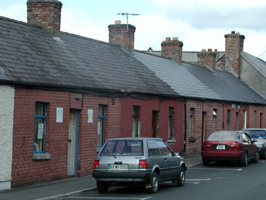 worker's houseworker's house · 25 yd
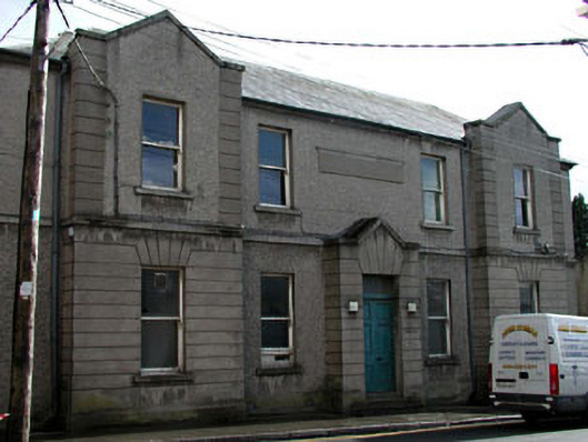 unknownunknown · 42 yd
 Not indciatedTown defences · 168 yd
 CastleCastle, tower house · 179 yd
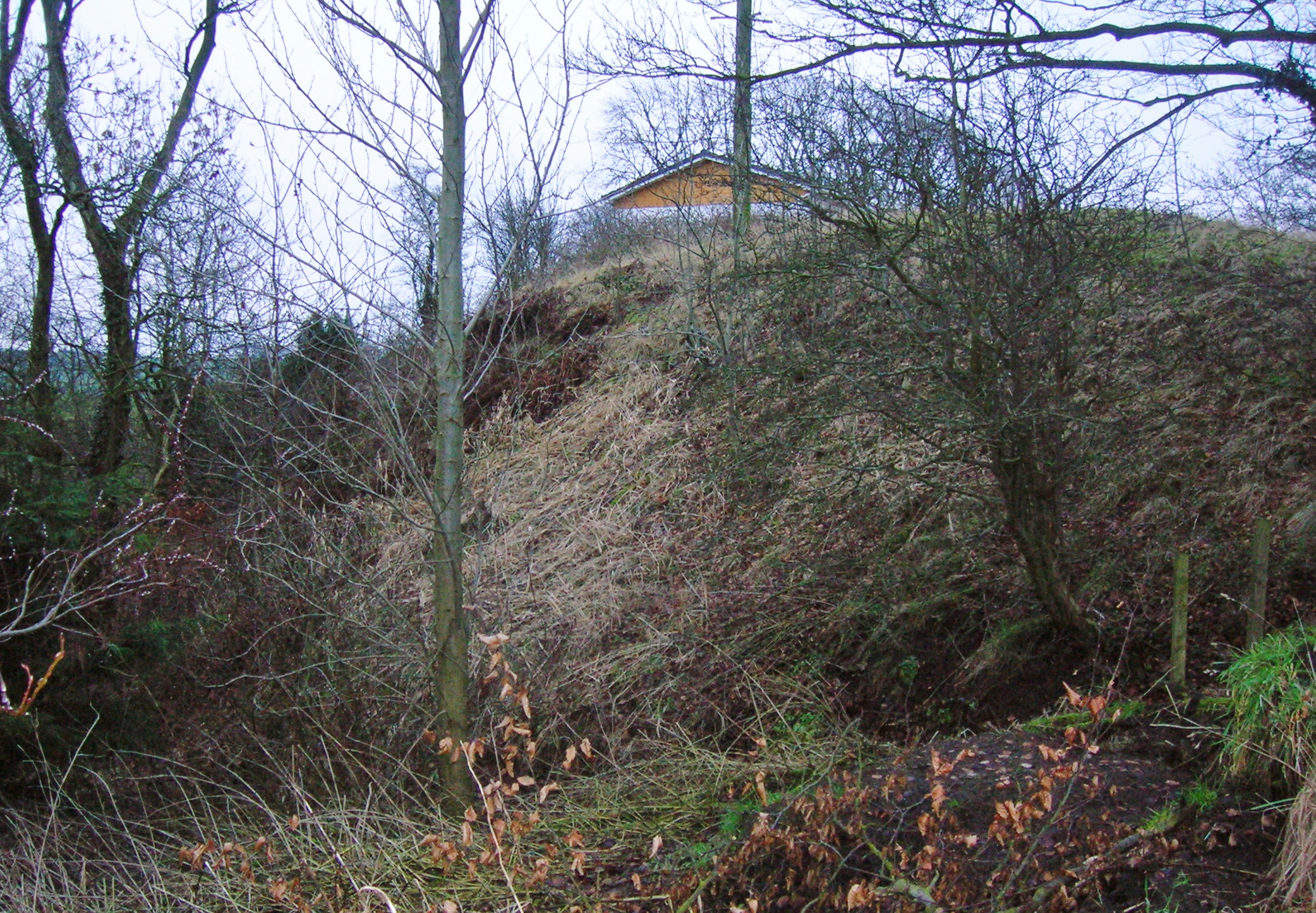 North MoteArchaeological place · 223 yd
 Site of Black CastleCastle, unclassified · 243 yd
 Poplar SquarePicnic place · 420 yd
 Monread District Park WoodsWood · 1.0 mi
 Naas ParkWood · 1.1 mi
 Museum of MotorsportMuseum · 4.2 mi
 Cupidstown HillMountain / peak · 7.1 mi
 Athgoe HillMountain / peak · 8.0 mi