
What is recorded here
Cromwells Fort vanished beneath a Kerry park, leaving only memory and a hidden tower ghost near the Kenmare Bay ferry. The loss is not empty; it is a reminder that human ambition often becomes soil, grass and silence. People still walk above what power once tried to control, unaware that their ordinary path crosses a forgotten instrument of fear.
In a public park on a peninsula projecting from the N side of Kenmare Bay with extensive views in all directions. Not visible at ground level. Lewis (1849, 6) states: "Near the ferry, or Sound, are the remains of a tower, called Cromwell's Fort". Also named 'Site of Cromwell's Fort' on 1841 OS 6-inch map. See KE093-036002-.
Compiled by: Elizabeth Byrne, Ursula Egan and Sheila Ronan, Archaeological Survey Unit, University College, Cork.
Date of upload: 30 May 2011
The monument record does not grant public access. Check the route and ask the landowner before entering private land.
- What survives
- Recorded monument
Places near here
 The Music Makersmonument · 15 yd
 Lansdowne Suspension BridgeBridge · 112 yd
 Mucksna Nature ReserveNature reserve · 638 yd
 Cleo GalleryGallery · 799 yd
 Monterey PineMonterey Pine · 829 yd
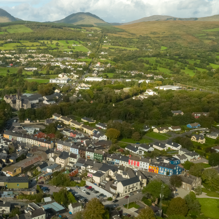 IndicatedEnclosure · 844 yd
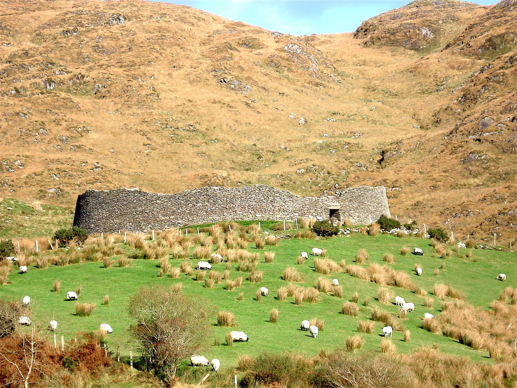 Man-made underground passage in KenmareMan-made underground passage · 867 yd
 Kenmare Stone CircleHeritage attraction · 912 yd
 Kenmare Heritage Town - Main StreetMemorial · 1002 yd
 Kenmare Tourist Information OfficeVisitor information · 1111 yd
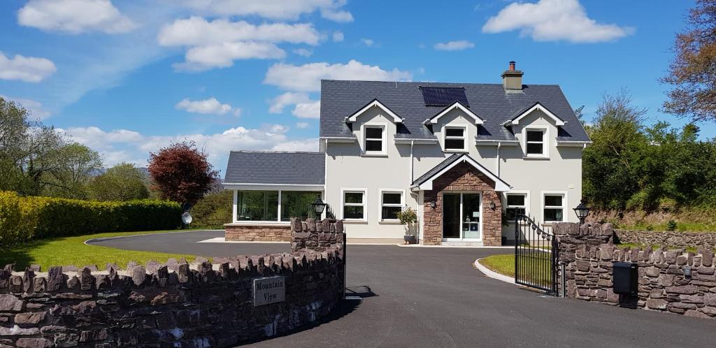 Mucksna MountainMountain / peak · 1.2 mi
 CastleCastle, unclassified · 1.6 mi
Other information
Photo: Credit not shown in the picture search · Rights wording not checked; contact us if this picture should be removed