What is recorded here
Mud and memory: Cromwell’s temporary fort vanished within decades, leaving only a faint fosse and level ground beside the Kenmare promontory. It was built to threaten the O’Sullivans, described as small, ruined by 1685, and gone by the nineteenth century. The bay keeps what the stones lost: a reminder that even imperial ambition can be erased by time, tide and neglect.
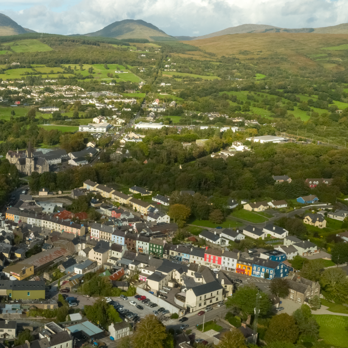
In a public park at the head of Kenmare Bay and on a narrow promontory projecting S into the bay. The town of Kenmare lies immediately to the N. This fort is named 'Neeleene [Nedeen] forte' on the Down Survey barony map (1655-6) of Glanarought (Hib. Reg.). It is indicated as the site of Cromwell's Fort on the 1841 and 1892 OS 6-inch maps on the W side of the road which runs the length of the promontory. There are no visible remains of the fort on the W side of the road but in a field on the E side of the road there are traces of a fosse and a level platform which may have formed part of a bastioned fort. According to Kerrigan (1995, 99), 'the fort was an earthwork and was only used for a short time' and 'a description of about 1685 notes it as ruined, having been built in Cromwellian times'. There are no visible remains of the 'tower' [KE093-036001-] called 'Cromwell's Fort' which was mentioned by Lewis (1837, vol. 2, 38) as being 'near the ferry, or Sound'.
In 1841 the Ordnance Survey recorded the following details about this fort; 'Close to this little town of Kenmare which is popularly called Nedeen is shown the site of a fort which was erected by Cromwell for subduing the O'Sullivans. This fort is mentioned in a manuscript Account of Kerry written about a century and a half since and now preserved in the manuscript library of Trinity College Dublin. I.L.3 p. 11. This barony, as also the forementioned barony of Magunihi, was formerly very woody, affording most stately timber, but now it is mostly destroyed by the devouring ironworks; the spacious bay of Killmare [récte Kin. J.O'D] insinutates itself on the
north-west side of this barony, at the mouth whereof the late Usurper built a fort called Nedeen, but at the best it was but inconsiderable, and is now totally demolished' (O'Donovan 1983, 234).
See attached Down Survey map, courtesy of the Library of Trinity College, Dublin
The above description is derived from the published 'Archaeological Inventory of County Kerry. Volume I: South-West Kerry' (Dublin: Stationery Office, 2009). In certain instances the entries have been revised and updated in the light of recent research.
Revised by: Caimin O'Brien
Date of revised upload: 26 September 2022
This remains an important historical record, but the official description says the monument is no longer visible or has been destroyed. The monument record does not grant public access. Check the route and ask the landowner before entering private land.
- What survives
- No visible remains or recorded as destroyed
Places near here
 Site of Cromwells FortFortification · 1 yd
 The Music Makersmonument · 15 yd
 Lansdowne Suspension BridgeBridge · 112 yd
 Mucksna Nature ReserveNature reserve · 638 yd
 Cleo GalleryGallery · 799 yd
 Monterey PineMonterey Pine · 829 yd
 IndicatedEnclosure · 844 yd
 Kenmare Stone CircleHeritage attraction · 912 yd
 Kenmare Heritage Town - Main StreetMemorial · 1002 yd
 Kenmare Tourist Information OfficeVisitor information · 1111 yd
 Mucksna MountainMountain / peak · 1.2 mi
 CastleCastle, unclassified · 1.6 mi