
What is recorded here
In a sheltered glade at the foot of a marked E-facing slope. Indicated on the 1839 and 1910 eds. of the OS 6-inch map as the site of a convent. The grass-covered foundations of a rectangular building (c. 18m x c. 16m) are visible at the location indicated on the OS maps. Three bullaun stones (WI021-019----, WI021-019001- and WI021-019002-) are in the immediate vicinity, one (centrally placed in the glade) having three basins. A disused burial ground (WI021-021----) lies c. 150m to the NE.
Compiled by: Mary Tunney
Date of upload: 5 December 2012
The monument record does not grant public access. Check the route and ask the landowner before entering private land.
- What survives
- Recorded monument
Places near here
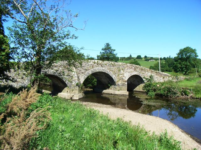 Kelsha Bridgebridge · 571 yd
 TobernacargyHoly well · 964 yd
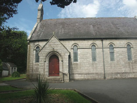 Catholic Church of Our Lady of Dolours and Saint Patrickchurch/chapel · 1072 yd
 Enclosure in BallyreaskEnclosure · 1.1 mi
 Site of CastleCastle, unclassified · 1.2 mi
 English hollyEnglish holly · 1.3 mi
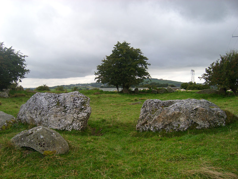 CastleCastle, motte · 1.3 mi
 Pedunculate OakPedunculate Oak · 2.0 mi
 SugarloafMountain / peak · 2.2 mi
 Michael Dwyer MemorialMemorial · 2.3 mi
 PinnacleMountain / peak · 2.5 mi
 Artillery MemorialMemorial · 2.6 mi
Other information
Photo: Credit not shown in the picture search · Rights wording not checked; contact us if this picture should be removed