What is recorded here
Situated on a shelf on an E-facing slope overlooking the N-S River Slaney which is c. 250m to the E. This is the site of the parish church of Killurin within a rectangular graveyard (dims c. 50-70m N-S; c. 40m E-S) defined by an earthen bank with internal stone-facing on all sides except the N where there is a masonry wall. According to a Visitation by Thomas Ram, the Protestant bishop of Ferns, in 1615 this church was impropriate to Henry Wallop and the name of the priest, if any, is not recorded. Nor is the condition of the church building recorded (Hore 1900-11, vol. 6, 268). John O'Donovan writing c. 1840 records that the old church was removed c. 1800 when the present Church of Ireland church was built (O'Flanagan 1933, vol. 1, 360). There is no evidence of an older structure other than one eroded Dundry fragment (H 0.17m) of two attached columns. St Laurence's Well (WX037-003----), lies c. 350m S of the church site. Archaeological testing (98E0422) just N of the graveyard produced no archaeological features (Wren 2000).
The above description is derived from the published 'Archaeological Inventory of County Wexford' (Dublin: Stationery Office, 1996). In certain instances the entries have been revised and updated in the light of recent research.
Compiled by: Michael Moore
Date of upload/revision: 14 December, 2012
Amended: 2 Sep. 2013
The monument record does not grant public access. Check the route and ask the landowner before entering private land.
- What survives
- Recorded monument
Places near here
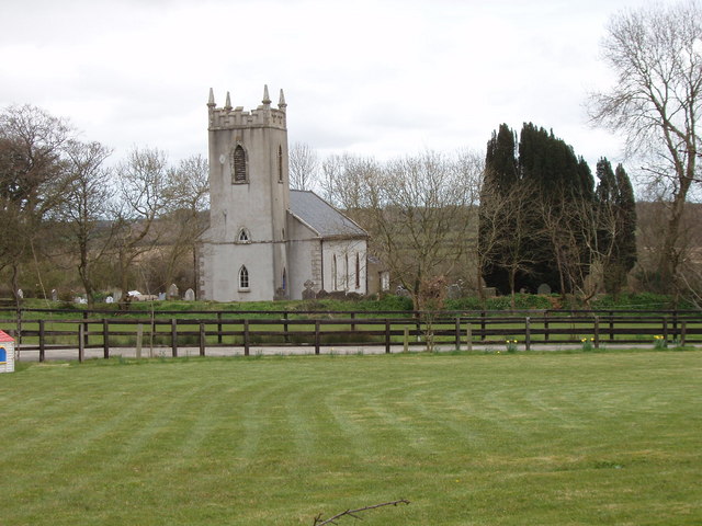 Killurin Churchchurch/chapel · 1 yd
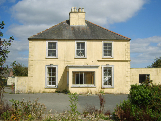 rectory/glebe/vicarage/curate's houserectory/glebe/vicarage/curate's house · 257 yd
 St. Laurences WellHoly well · 399 yd
 Site of CastleCastle, unclassified · 615 yd
 Celebrating 125 YearsMemorial · 949 yd
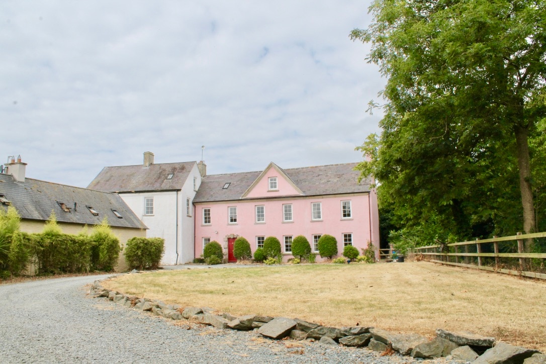 CastleCastle, tower house · 1400 yd
 site of Killell ChurchChurch · 1658 yd
 Battle Of The Three RocksMemorial · 3.6 mi
 Carrickshinna RockMountain / peak · 4.2 mi
 Ravens RocksMountain / peak · 4.3 mi
 Dawn RedwoodDawn Redwood · 4.5 mi
 16th Irish DivisionMemorial · 5.3 mi