
What is recorded here
Clonea Lower hides a vanished castle in ordinary pasture, marked only by a faint two-cell shape on an 1840 map. Theobald Fitzgerald owned the land in 1640, yet no castle name has survived. The Douglas stream still runs sixty metres west, and Clonea church stands beyond the grass. What remained there may have been a small house, a guard post, or a boundary marker for a powerful family.
Located in pasture on a slight rise in a level, low-lying landscape, with the canalised N-S Douglas stream c. 60m to the W. It is marked faintly as a two-cell structure on the 1840 ed. of the OS 6-inch map. There are no references to a castle here, although the land was owned by Theobald Fitzgerald in 1640 (Simington 1942, 76). Nothing is visible at ground level. Clonea church (WA031-037001-) is c. 240m to the NNE.
Simington, R. C. (ed.) (1942) The Civil Survey AD 1654-1656, vi, the County of Waterford. Irish Manuscripts Commission. Dublin.
The above description is derived from the published 'Archaeological Inventory of County Waterford' (Dublin: Stationery Office, 1999). In certain instances the entries have been revised and updated in the light of recent research.
Compiled by: Michael Moore. Date of upload: 25th August, 2011.
The monument record does not grant public access. Check the route and ask the landowner before entering private land.
- What survives
- Recorded monument
Places near here
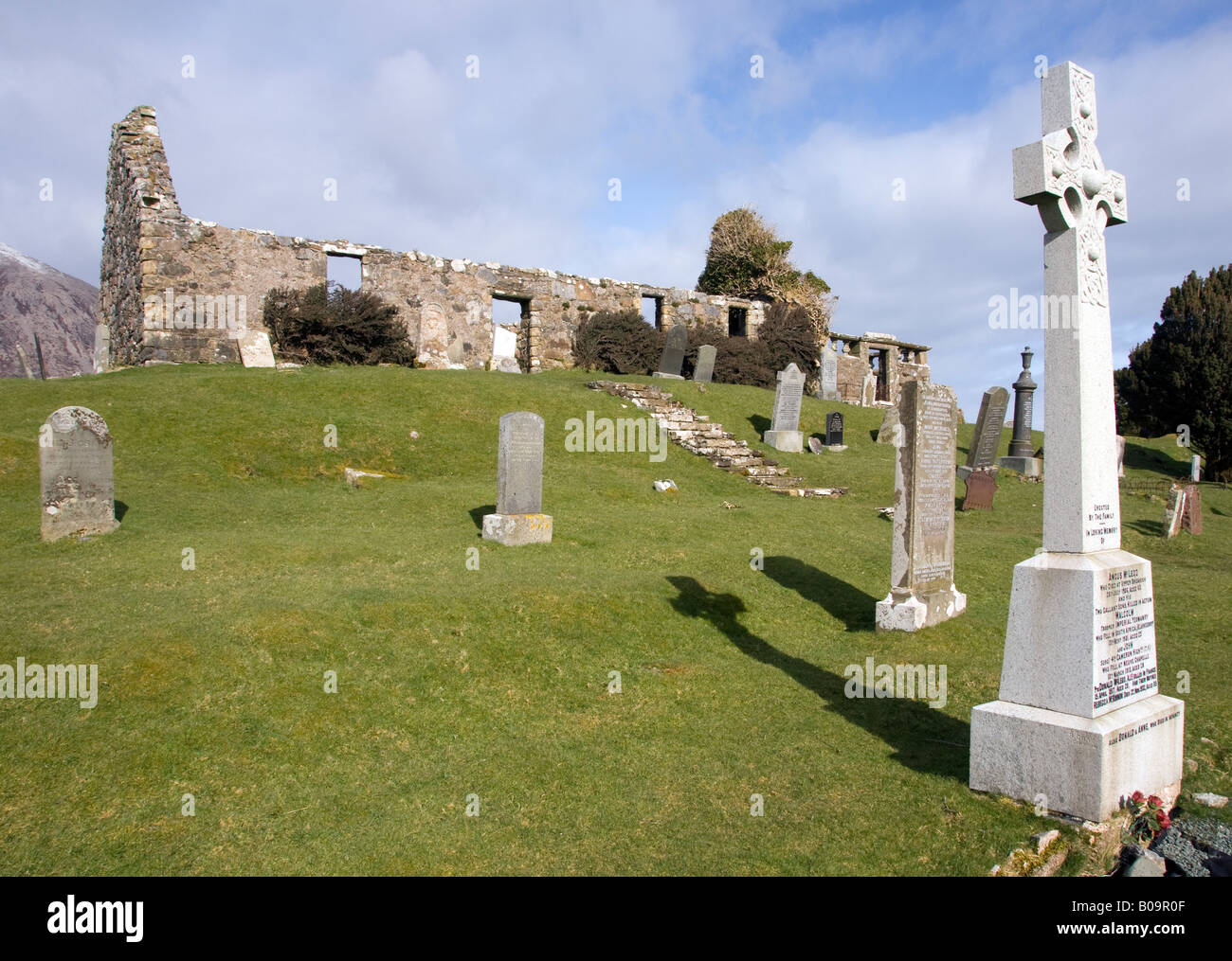 Grave YardGraveyard · 250 yd
 Clonea Church (in ruins)Church · 262 yd
 Embanked enclosureEnclosure · 544 yd
 Historic buildingOfficially recorded historic building · 566 yd
 Clonea StrandBeach / strand · 1181 yd
 Cloncoskoran Castle (in ruins)Castle, tower house · 1690 yd
 Horse-chestnutHorse-chestnut · 2.0 mi
 Bawn in Castlequarter (decies Without Drum By., Kilrossanty Par.)Bawn · 2.4 mi
 Cunnigar PointHeadland · 2.9 mi
 Dungarvan CastleCastle · 3.0 mi
 Dungarvan World War I MemorialMemorial · 3.1 mi
 Waterford County MuseumMuseum · 3.2 mi
Other information
Photo: Credit not shown in the picture search · Rights wording not checked; contact us if this picture should be removed