
What is recorded here
Old Castle at Corlat vanished so completely that no stone remains to mark its corner, leaving only a faint rectangular ghost on an 1835 map. It probably belonged to Sir John Elliott after the Plantation, yet even the Down Survey skipped it, as if the river border and local men agreed to forget the castle rather than record it.
Marked faintly as a rectangular structure (dims c. 10m N-S; c. 5m E-W) and described in italic lettering as 'Site of Old Castle' on the 1835 ed. of the OS 6-inch map, but is not marked on subsequent eds. Nor is it marked on the Down Survey (1656-8) barony map at Killeter (42) or Clovevria (52), for which see this web-page accessed on 13/04/2016. http://downsurvey.tcd.ie/down-survey-maps.php#bm=Castlerahan&c=Cavan
Situated on a slight natural rise close to a river which forms part of the Cavan/Meath border. Davies (1948a, 105-6) speculated that the castle probably belonged to Sir John Elliott who was assigned the estate of Kilcronehan under the Plantation. There are no visible remains at ground level.
The above description is derived from the published 'Archaeological Inventory of County Cavan' (Dublin: Stationery Office, 1995). In certain instances the entries have been revised and updated in the light of recent research.
Date of revision: 13 April 2016
This remains an important historical record, but the official description says the monument is no longer visible or has been destroyed. The monument record does not grant public access. Check the route and ask the landowner before entering private land.
- What survives
- No visible remains or recorded as destroyed
Places near here
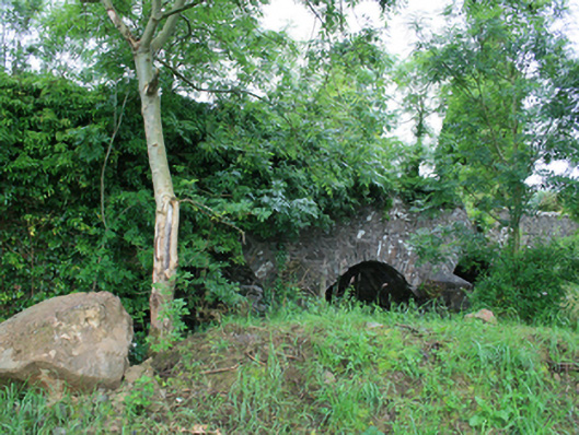 Skearke Bridgebridge · 238 yd
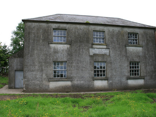 Killeter National Schoolschool · 1103 yd
 Enclosure in KilleterEnclosure · 1479 yd
 CastleCastle, tower house · 1605 yd
 Font in Newcastle (kells Lower By.)Font · 1746 yd
 Cornaglare or PalmiraMountain / peak · 1.4 mi
 Sally IslandIslet · 1.5 mi
 Crow IslandIslet · 1.6 mi
 Cloghballybeg ForestForest · 2.0 mi
 Cloghbally LowerMountain / peak · 2.4 mi
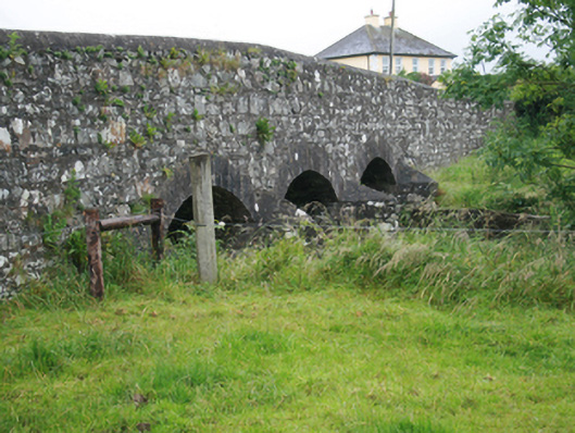 Corlat Bridgebridge · 1112 yd
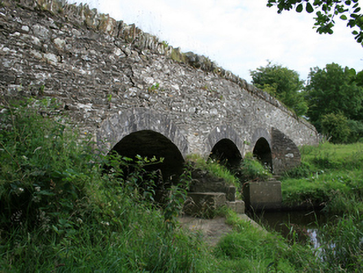 Annesbrook Bridgebridge · 1666 yd
Other information
Photo: Credit not shown · Licence wording not shown