What is recorded here
Places near here
Photo credits
- Mike Faherty, Wikimedia Commons · CC BY-SA 2.0
- Maker not stated on source page, www.flickr.com
- Maker not stated on source page, en.wikipedia.org
- Maker not stated on source page, www.pinterest.com
- Maker not stated on source page, www.istockphoto.com
- Maker not stated on source page, uk.pinterest.com
- Maker not stated on source page, www.geograph.ie
- Maker not stated on source page, au.pinterest.com
- Maker not stated on source page, barucaba.livejournal.com
- Maker not stated on source page, connor.anglican.org
- Kenneth Allen, Wikimedia Commons · CC BY-SA 2.0
 The Thatch InnPublic House · 23 mi
Explorer Tom The Thatch Inn has been around since the 1820s, which means it's older than most of your excuses for being single.…
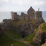 Castle & bawn in Broughshane UpperCastle & Bawn · 23 mi
Explorer Tom Castle & bawn in Broughshane Upper refuses to fall down because it’s too stubborn to admit defeat. It’s like an old dog…
 Standing stone (unlocated) in Broughshane Upper (possible); Kinbally (possible)Standing stone (unlocated) · 23 mi
Explorer Tom Standing stone in Broughshane Upper is unlocated. If it went to a party, it would bring a very old, dusty coat. Nobody…
 Bladderys WoodWood · 25 mi
Explorer Tom Bladderys Wood is plotting its retirement, thinking it can just drop the trees and become a very confused meadow. It's…
 Mapped cemeteryCemetery · 25 mi
Explorer Tom Mapped cemetery in County Antrim has a ghost who is too lazy to haunt it properly because he prefers napping under the…
 Mound: possible motte in BottomMound: Possible Motte · 25 mi
Explorer Tom Mound: possible motte in Bottom is sitting at the very bottom of the map, which feels like a humble flex. Saint Patrick…
 Chambered GraveArchaeological place · 25 mi
Explorer Tom Another Chambered Grave in Antrim, which would put 'single, love rocks, hates light' on its dating profile. It’s been…
 Church Site & Graveyard: Ballyclug Old Graveyard, Baile Cluig Comghaill, Balilugd or Ballyclug Graveyard in BallylessonChurch Site & Graveyard: Ballyclug Old Graveyard, Baile Cluig Comghaill, Balilugd or Ballyclug Graveyard · 26 mi
Explorer Tom Ballyclug Old Graveyard has four names because it can’t make up its mind who it is. It’d tell the new church down the…
 Bishop's PalaceArchaeological place · 27 mi
Explorer Tom Bishop's Palace was built on a bargain so shady even the lawyers are still arguing. The bishop probably paid in favours…
 Revetted Mound & Boundary Ditch: the Trench in ConnorRevetted Mound & Boundary Ditch: the Trench · 27 mi
Explorer Tom Revetted Mound & Boundary Ditch: The Trench in Connor is medieval and fancying itself a fortress. It's scheduled, so…
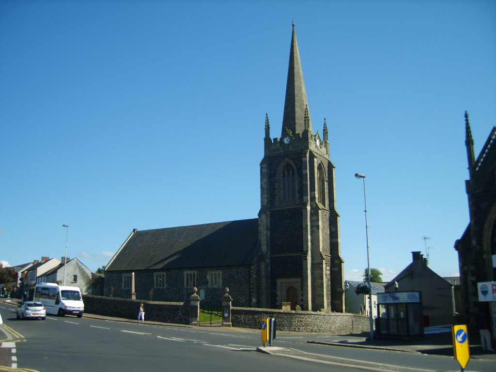 Connor Presbyterian ChurchPublic artwork · 27 mi
Explorer Tom Connor Presbyterian Church is technically run by a dog named Bishop who barks at anyone who speaks too loudly inside.…
 Presbyterian ChurchChurch · 27 mi
Explorer Tom Presbyterian Church in Kells, County Antrim, has a favourite song that it hums whenever the wind blows through its…
More wrecks and historic events in Argyll and Bute · All of Argyll and Bute

What do you know about this place?Tap to add a comment or ask a question