What is recorded here
The monument named 'Sir Donat's Road' on the 1840 and 1916 OS 6-inch maps runs from Leamaneh at SW to Kiltacky More at NE. It stretches across four OS 6-inch maps and is listed in the RMP (1996) with the record numbers CL010-111---*; CL011-001---*; CL011-017---*; CL011-027----; CL016-121---*; and CL017-023----. This is a routeway associated with Donough O'Brien who was created a Baronet in 1686 and lived at Leamaneh Castle (CL016-032002-). The route runs along both modern tarred roads (Wth 5.5m) and roads with grass margins varying from 1 to 5m wide, some with drystone walls, usually tumbled at the edges and some with double-faced drystone walls.
This barely perceptible section of the road/trackway (1.4km N-S; Wth c. 40m) is defined by a very shallow linear depression, in places lined by a slight grass-covered bank (visible on OSi MapGenie 2012-2018). The road/trackway meanders slightly up and down across the landscape without following a convenient labour-saving route. It descends from higher ground at the N down into a sunken area (Kiltacky Beg townland), before rising to the S (into Kylecreen townland) and passing immediately to the W of an enclosure (CL011-010----). The road/trackway then goes up a hill and through a narrow ravine between karstic outcrops. An inspection in 2000 traced it as far as a church (CL011-011----) but it may continue S from here through an area of overgrowth.
Compiled by: Mary Tunney and Conn Herriott
Date of upload: 24 January 2023
The monument record does not grant public access. Check the route and ask the landowner before entering private land.
- What survives
- Recorded monument
Places near here
 R.C. Chapel (in ruins)Church · 692 yd
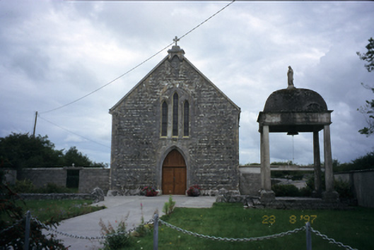 All Saints' Catholic Churchchurch/chapel · 928 yd
 IndicatedFairy fort / stone ringfort · 1203 yd
 Cloondooan Castle (in ruins)Castle, tower house · 1503 yd
 Enclosure in CarrownagoulEnclosure · 1688 yd
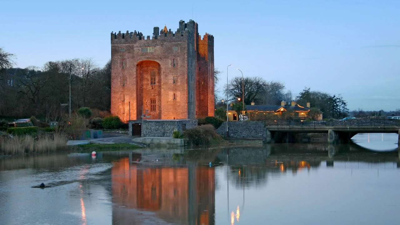 Castle (in ruins)Castle, tower house · 1.1 mi
 Slieve RoeMountain / peak · 2.4 mi
 Kilmacduagh MonasteryHeritage attraction · 2.7 mi
 Mullagh MoreMountain / peak · 2.8 mi
 Kilmacduagh Monastic SiteVisitor information · 2.8 mi
 Kilnaloone GraveyardArchaeological place · 3.3 mi
 Father Ted's HouseHeritage attraction · 3.8 mi