What is recorded here
Shore Island is a submerged crannog in Lough Rea where excavations revealed basket-work floors, hearths and animal bones beneath the water. Kinahan mapped oak piles and stone masses along its edge in the 1860s, while a later dive identified a small artificial harbour at its northeast corner. The island may have been a working waterfront rather than a remote retreat, a place where people built, cooked and lived beside the lake.
In the W sector of Lough Rea c. 20m from the shoreline. This irregularly shaped island (c. 90m E-W; c. 5-35m N-S) was formerly attached to the mainland by a causeway of marl and peat. On examining it Kinahan (1861-4, 416-17) noted masses of stones between and outside two semicircles of oak piles along the shoreline at NE and from E to S. About 20m to the S of the island three circles of piles were also visible. During the course of a series of excavations undertaken on the E half of the island a basket-work floor, basket-work partitions, hearths and numerous animal bones were uncovered (ibid., 717-24). A dive over the oak piles noted to the NE of the island in the late 1990s found them to be part of an artificially constructed small harbour or docking area (information from K. McDonald). (Wood-Martin 1886, 225-9)
Compiled by: Galway Archaeological Survey, UCG
Date of upload: 8 January 2020
The monument record does not grant public access. Check the route and ask the landowner before entering private land.
- What survives
- Recorded monument
Places near here
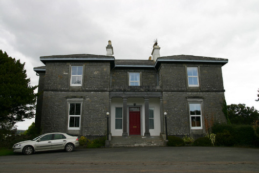 Coorheen Housecountry house · 414 yd
 Ash IslandIslet · 667 yd
 Blake's IslandIslet · 731 yd
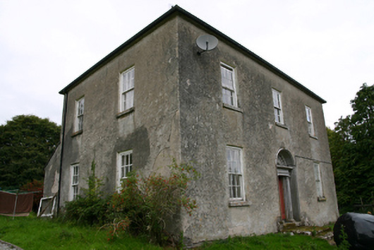 Glenvillecountry house · 877 yd
 Enclosure in St LaurencesfieldsEnclosure · 1655 yd
 Enclosure in Grange (loughrea By.)Enclosure · 1695 yd
 Long PointHeadland · 1.0 mi
 Site of Cloonoo CastleCastle, unclassified · 1.6 mi
 Site of CastleCastle, unclassified · 1.9 mi
 Turoe StoneHeritage attraction · 4.6 mi
 Scalpeen RockNamed rock · 4.7 mi
 Dartfield Horse MuseumHeritage attraction · 5.2 mi