
What is recorded here
Sherkin Island holds roughly 110 people in County Cork, yet it once sustained more than a thousand before famine and exile thinned its streets. Its small harbour, ancient friary and seasonal influx of artists, fishermen and visitors suggest a place that refused to become merely remote. The bay may still carry memory in its tide, bringing back whatever life the sea took and returning it changed.
Sherkin Island is recorded as a island in County Cork. Its open map record supplies this location and any linked names or public references.
Sherkin Island, located off the coast of West Cork, Ireland, has a long history of human settlement dating back to the early Christian period, with archaeological remains including ring forts and medieval ruins. It is notable for its well-preserved heritage, including the ruins of a 17th-century castle and a vibrant fishing and farming community that has maintained a strong cultural identity.
Places near here
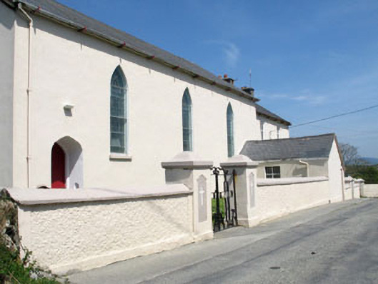 St. Mona's Roman Catholic Churchchurch/chapel · 293 yd
 farm housefarm house · 370 yd
 Cow StrandBeach / strand · 401 yd
 Burial ground in Kilmoon (sherkin Island)Burial ground · 629 yd
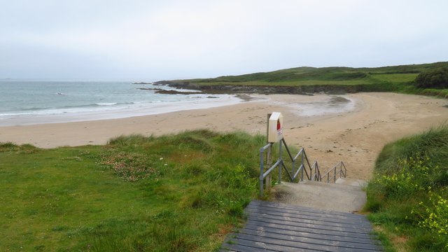 Silver StrandBeach / strand · 690 yd
 Man-made underground passage in Cloddagh (sherkin Island)Man-made underground passage · 823 yd
 White StrandBeach / strand · 1033 yd
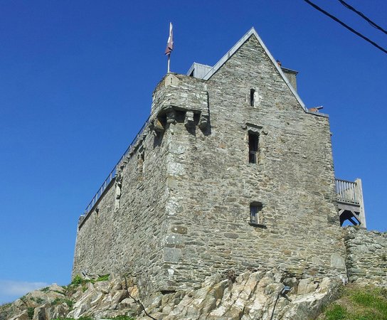 Dún na Long CastleRuins · 1429 yd
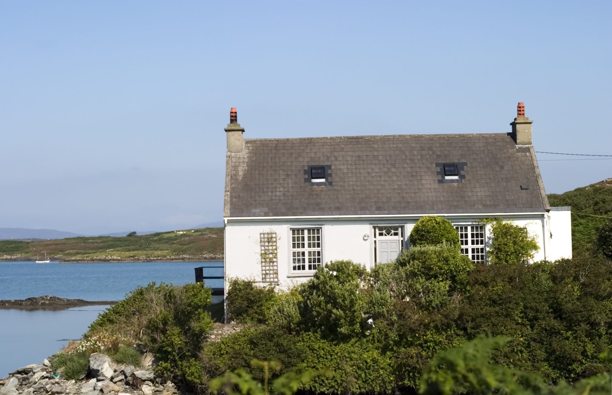 Bawn in Farranacoush (sherkin Island)Bawn · 1441 yd
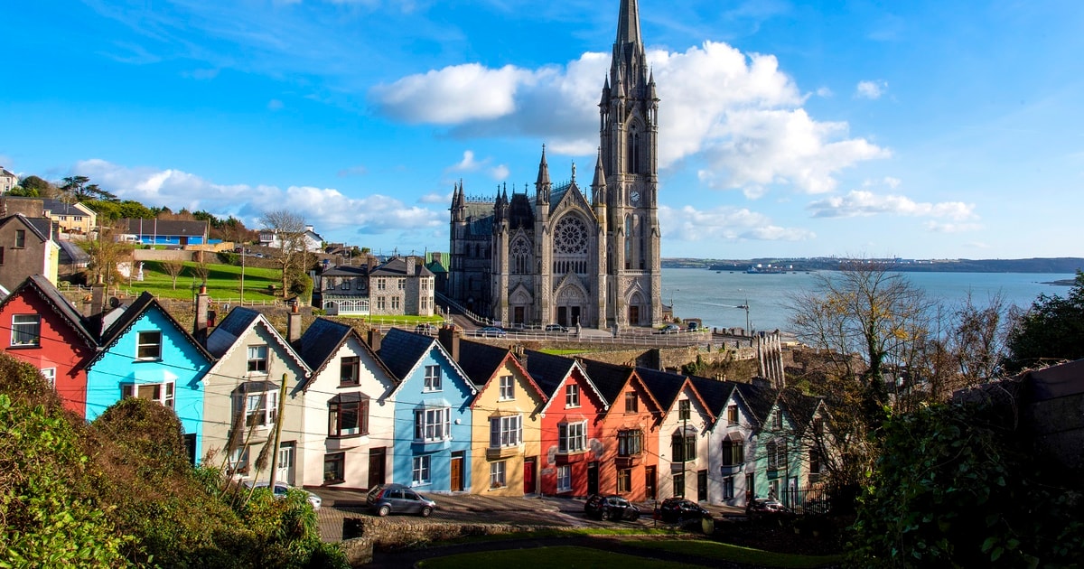 Drowlaun PointHeadland · 1510 yd
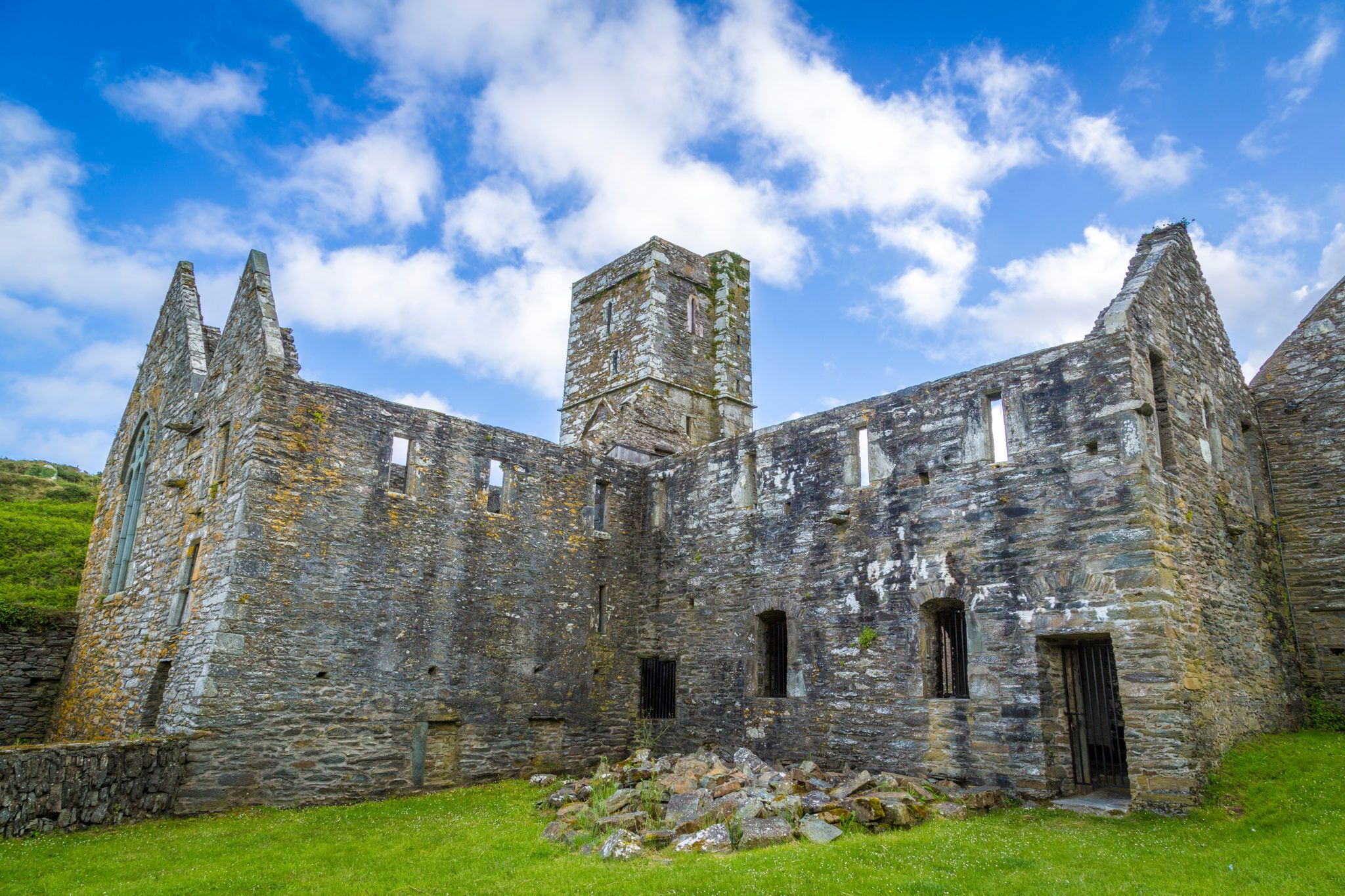 Sherkin PointHeadland · 1.2 mi
 Beacon PointViewpoint · 1.2 mi
Other information
Photo: Jbuck78 · CC BY-SA 4.0