What is recorded here
From the National Monuments Service (Archaeological Survey of Ireland) record KE080-037
Places near here
Photo credits
- Steve Edge, Wikimedia Commons · CC BY-SA 2.0
- Neville Goodman, Geograph · CC BY-SA 2.0
- National Inventory of Architectural Heritage
- Linda Bailey, Wikimedia Commons · CC BY-SA 2.0
- Dr Charles Nelson, Wikimedia Commons · CC BY-SA 2.0
- Michael G Kenny, Wikimedia Commons · CC BY-SA 4.0
- Roger Diel, Geograph · CC BY-SA 2.0
- JoachimKohlerBremen, Wikimedia Commons · CC BY-SA 4.0
- Russel Wills, Wikimedia Commons · CC BY-SA 2.0
- Theboykenny, Wikimedia Commons · CC BY-SA 4.0
- Kieran Evans, Geograph · CC BY-SA 2.0
- John ., Wikimedia Commons · CC BY 2.0
 Killinane Church (in ruins)Church · 1.3 mi
Explorer Tom Killinane Church keeps getting picked on by the wind because it won’t admit it’s just a pile of stones. It used to host a pattern day that was basically a festival of excuses. Stop the car, it's worth the hazard lights.
 Laharn Bog LoopWalking route · 2.5 mi
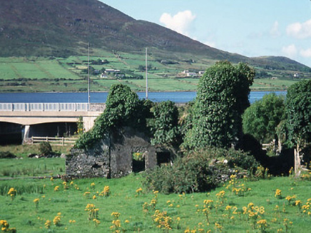 Carhan HouseHouse · 2.7 mi
Explorer Tom Carhan House in Carhan Lower is just a ruin now, but back in 1770 it was fancy. Rumor has it a fox moved in and started collecting rent. Practise your Irish on it, it won't correct you.
 BenteeMountain / peak · 2.9 mi
 CaunogeMountain / peak · 4.0 mi
 Ballycarbery CastleRuins · 4.8 mi
 OutlinedBawn · 4.8 mi
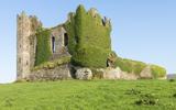 Ballycarbery Castle (in ruins)Castle, hall-house · 4.8 mi
 Cahergal Ring FortArchaeological place · 4.9 mi
 CahergalFairy fort / stone ringfort · 4.9 mi
Explorer Tom Cahergal is planning to use its lotto win to buy another rock face and some more steps. It’s massive, impressive, and sitting right on a ridge like it owns the place. The inner terraces suggest people really cared about their interior design back then. Great spot to propose. Or at least to propose lunch.
 White Strand BeachBeach / strand · 5.4 mi
 Beginish IslandIsland · 6.5 mi
More archaeology and monuments in County Kerry · All of County Kerry

What do you know about this place?Tap to add a comment or ask a question