
What is recorded here
In rough hill pasture, in a sheltered hollow, on a W-facing slope. A rectangular area (4.1m E-W; 2.8m N-S) defined by a collapsed drystone wall (T 0.6m; H 1.1m) on the S, W and N sides and by a rock outcrop on the E side. There is an entrance (Wth 0.6m) at N. A rectangular, lintelled recess (Wth 0.85m; H 0.5m; D 0.5m) is set against the rock outcrop face at E.
Compiled by: Elizabeth Byrne, Ursula Egan and Sheila Ronan, Archaeological Survey Unit, University College, Cork.
Date of upload: 31 January 2011
A local fairy fort (ringfort/rath); wider significance not recorded.
The monument record does not grant public access. Check the route and ask the landowner before entering private land.
- What survives
- Recorded monument
Places near here
 Field boundary in Annagh MoreField boundary · 596 yd
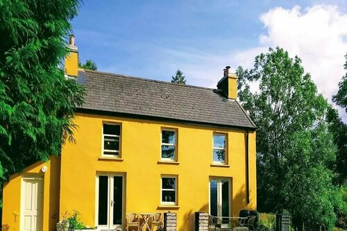 Enclosure in Annagh MoreEnclosure · 625 yd
 CoolcurtogaMountain / peak · 1458 yd
 Killeen MountainMountain / peak · 1.5 mi
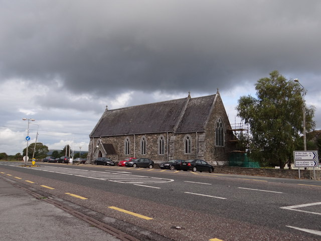 Saint Agatha's Catholic Church, Glenfleskchurch/chapel · 1.6 mi
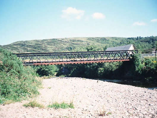 bridge, DERREENACULLIG, INCH (MA. BY.) KILLARNEY URBAN EDbridge · 1.8 mi
 Killaha Castle (in Ruins), KillahaCastle, tower house · 2.8 mi
 BarraduffMemorial · 3.8 mi
 Hidden Valley Pet FarmHeritage attraction · 6.4 mi
 Torc WaterfallWaterfall · 7.5 mi
 Monterey Cypress, Muckross House, Co. KerryMonterey Cypress · 7.7 mi
 Muckross Lake WalkWalking route · 7.7 mi
Other information
Photo: Credit not shown in the picture search · Rights wording not checked; contact us if this picture should be removed