
More pictures of this place
![500px provided description: April In Ireland [#lanscapes ,#paysage ,#Irish ,#Irlande]](https://upload.wikimedia.org/wikipedia/commons/b/b0/April_In_Ireland_%28189727715%29.jpeg?utm_source=commons.wikimedia.org&utm_campaign=imageinfo&utm_content=original)

What is recorded here
The coast tells you why this had to be built. Located at the southern tip of Bantry Bay this lighthouse was constructed as a result of the development of the oil terminal at Whiddy Island.
Freestanding single-bay two-stage lighthouse with single-storey entrance bay, built 1968. Flat and domed metal and concrete roofs with metal antennae. Painted rendered walls. Square-headed openings with timber fixed windows and concrete sill. Square-headed door opening with timber battened door. Metal railings and flight of steps to site.
Located at the southern tip of Bantry Bay this lighthouse was constructed as a result of the development of the oil terminal at Whiddy Island.
Located at the southern tip of Bantry Bay this lighthouse was constructed as a result of the development of the oil terminal at Whiddy Island. It first exhibited light on 14 October 1968. The form, style and design is similar to that of the lighthouse on Achillbeg Island. The lighthouse was monitored by the keepers at Mizen Head Lighthouse until its automation in 1993.
The story behind this place
Located at the southern tip of Bantry Bay this lighthouse was constructed as a result of the development of the oil terminal at Whiddy Island.
This does not grant access. Most recorded buildings are privately owned; view them only from public ground unless the owner allows entry.
Places near here
 Way to Sheep's Head LighthouseWalking route · 141 yd
 Sheep's HeadHeadland · 234 yd
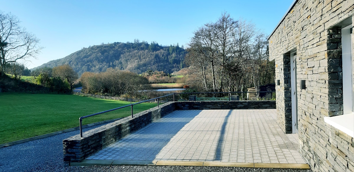 Lough Akeen Lake ViewViewpoint · 998 yd
 Sheep's Head - Lighthouse LoopWalking route · 1089 yd
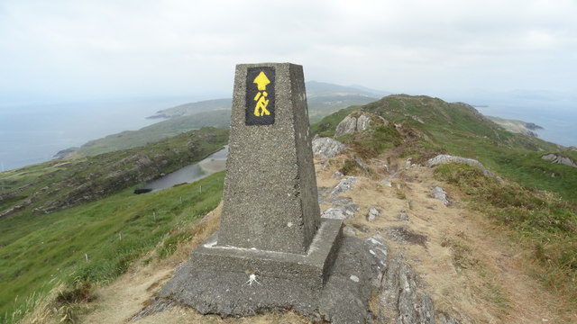 Ballyroon MountainMountain / peak · 1.3 mi
 Ballyroon Mountain Signal TowerRuins · 1.6 mi
 Miner's settlement in GortavalligMiner's settlement · 3.5 mi
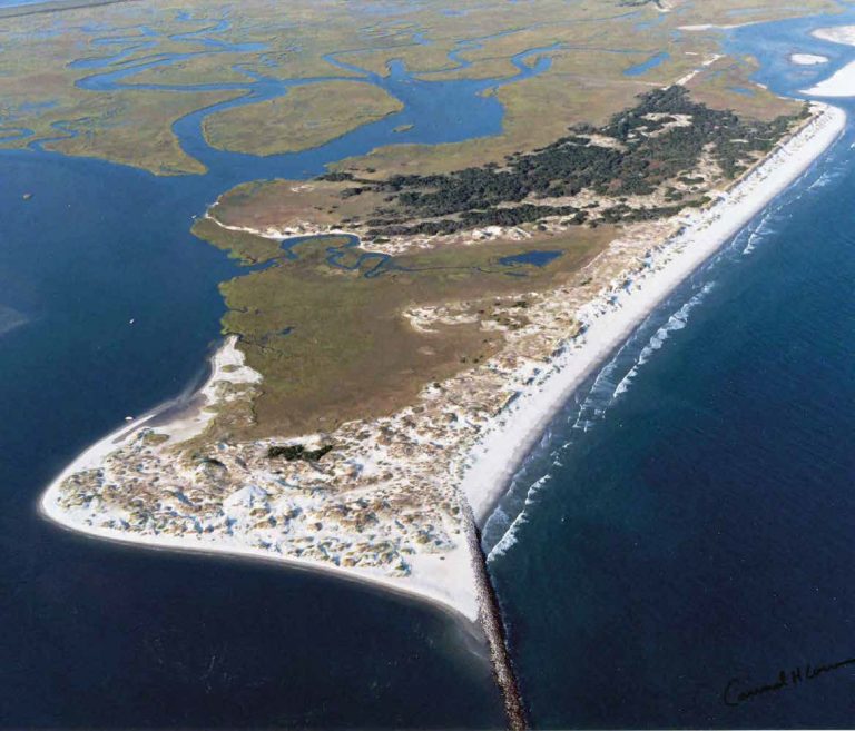 Bird IslandIslet · 3.9 mi
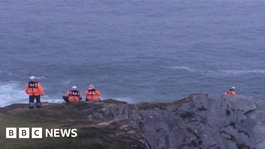 Drowning in Dunmanus BayMemorial · 4.2 mi
 RoadRoad, road/trackway · 4.2 mi
 Dunlough CastleHeritage attraction · 4.2 mi
 Three Castles (in Ruins)Castle, tower house · 4.2 mi
Other information
Photo: Richard Webb · CC BY-SA 2.0