
What is recorded here
Shane’s fort is a circular earthen ring on a north-facing slope in County Monaghan, marked only on the 1907 map and now hidden beneath deciduous trees. Its bank, ditch and narrow entrance still trace a place where people may have lived, buried or feared the unseen. The lost house behind it and the fading name suggest a region that kept its own rules long before surveyors arrived.
Located towards the bottom of a N-facing slope on the demesne of Castleshane House, which was c. 260m to the SW but is no longer extant. It is depicted only on the 1907 edition of the OS 6-inch map where it is described in gothic lettering as ‘Shane’s fort’. This is a circular area (int. diam. 27.6m NW-SE; 25m NE-SW) planted with deciduous trees defined by an earthen bank and a U-shaped fosse, with traces of an outer bank (Wth 4.3m; int. H 1m; ext. H 0.85m) at NNW. There is an entrance (Wth of base 2.5m) and causeway (Wth of top 3.6m; H 0.45m) at NE.
The above description is derived from the published 'Archaeological Inventory of County Monaghan' (Dublin: Stationery Office, 1986). In certain instances the entries have been revised and updated in the light of recent research.
Date of revision: 26 January 2018
The monument record does not grant public access. Check the route and ask the landowner before entering private land.
- What survives
- Recorded monument
Places near here
 Castleshane Housewalled garden · 193 yd
 Castleshane WaterfallWaterfall · 853 yd
 Tiravray fortFairy fort / earthen ringfort · 898 yd
 Ceremonial enclosure in GreenmountCeremonial enclosure · 1136 yd
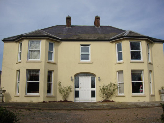 Greenmount Househouse · 1547 yd
 Battle of ClontibretBattlefield · 2.3 mi
 Caldwells' WoodWood · 2.8 mi
 Liscarney WoodWood · 3.0 mi
 Bawn in Roosky (monaghan By., Monaghan Par.)Bawn · 4.0 mi
 Monaghan County MuseumMuseum · 4.0 mi
 Rossmore MonumentMemorial · 4.0 mi
 Lisarrilly HillMountain / peak · 10 mi
Other information
Photo: Credit not shown in the picture search · Rights wording not checked; contact us if this picture should be removed