
What is recorded here
Located on a small hill at the NE end of a small NE-SW ridge, with a NE-SW section of a small stream c. 160m to the SE and a S-N section of the Cor River c. 370m to the W. The internal barrow is depicted as a small embanked feature (ext. diam. c. 20m) described as a ‘Moat’ in gothic lettering on the 1834 edition of the OS 6-inch map, and the enclosure as a hachured feature (diam. c. 50-55m) with an inner hachured feature on the 1907 edition.
This is a domed subcircular and grass-covered area (dims 55m N-S; 48m E-W) defined by an earthen bank (at SE: Wth c. 3m; int. H 0.3m; ext. H 1.8m) and hedge, and an outer fosse (Wth of base c. 1m; D 0.1-0.2m) visible W-N and but absent elsewhere. The surviving bank is generally lower than the top of the hill. There is a bowl-barrow (MO010-015001-) just NW of the centre. There are several entrances but that at SW might be original. The enclosure was overgrown in 1983 but the scrub had been cleared by 1995 (OSAP).
Date of revised upload: 26 January 2018
Compiled by: Michael Moore
A local fairy fort (ringfort/rath); wider significance not recorded.
The monument record does not grant public access. Check the route and ask the landowner before entering private land.
- What survives
- Recorded monument
Places near here
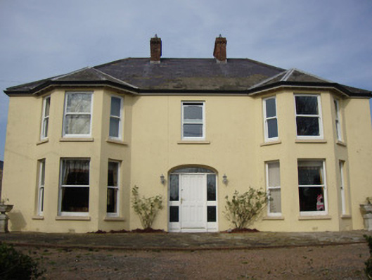 Greenmount Househouse · 445 yd
 Tiravray fortFairy fort / earthen ringfort · 992 yd
 Shanes fortFairy fort / earthen ringfort · 1136 yd
 Castleshane Housewalled garden · 1211 yd
 Castleshane WaterfallWaterfall · 1.1 mi
 Battle of ClontibretBattlefield · 2.2 mi
 Caldwells' WoodWood · 3.0 mi
 Liscarney WoodWood · 3.2 mi
 Monaghan County MuseumMuseum · 4.4 mi
 Bawn in Roosky (monaghan By., Monaghan Par.)Bawn · 4.4 mi
 Rossmore MonumentMemorial · 4.4 mi
 Keady MonumentMemorial · 6.3 mi
Other information
Photo: Credit not shown in the picture search · Rights wording not checked; contact us if this picture should be removed