What is recorded here
Map note: Near Crothair, Na h-Eileanan Siar, Scotland, the map records Sgeirean Caolas Eughlaim as an islet. An island name can fire the imagination; the map fixes the spot.
From OpenStreetMap (© OpenStreetMap contributors) w302431136
Places near here
Photo credits
- Jo and Steve Turner, Wikimedia Commons · CC BY-SA 2.0
- Maker not stated on source page, www.pinterest.com
- David Purchase, Wikimedia Commons · CC BY-SA 2.0
- Maker not stated on source page, au.pinterest.com
- Maker not stated on source page, www.fundacionmapfre.org
- Oliver Dixon, Wikimedia Commons · CC BY-SA 2.0
- M J Richardson, Wikimedia Commons · CC BY-SA 2.0
- Tom Pullman, Wikimedia Commons · CC BY-SA 2.0
- Bob Embleton, Wikimedia Commons · CC BY-SA 2.0
- Maker not stated on source page, ru.pngtree.com
 Shed by Loch na MuilneOld home or work place · 1329 yd
 Sgeir RollanisIslet · 1748 yd
 Lewis, Great Bernera, Middle ShalavalShieling Hut (post Medieval) (possible) · 1.0 mi
 Croir Standing StoneArchaeological place · 1.0 mi
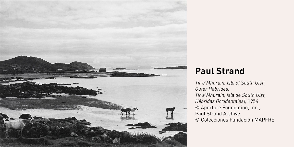 Sgeir a' MhurainIslet · 1.1 mi
 TobsonRectilinear Enclosure (medieval) - (18th Century) · 1.2 mi
 Iron Age HouseMuseum · 1.4 mi
 Bostadh beach, Great BerneraBeach · 1.4 mi
 Bostadh Beach and Iron Age HouseBeach · 1.5 mi
 Time and Tide BellSculpture · 1.5 mi
 Mapped cemeteryCemetery · 2.0 mi
 Dun Carloway Broche Visitor CentreVisitor information · 2.2 mi
More islands in Na h-Eileanan Siar · All of Na h-Eileanan Siar

What do you know about this place?Tap to add a comment or ask a question