What is recorded here
Abbey Street in Armagh marked a settlement site through the medieval and late medieval periods, long before modern boundaries or street names gave it shape. People lived, worked and likely argued along that line while Armagh grew around faith and power. The street still carries that old density, even when no building remains to prove it.
The official Northern Ireland record identifies this as SETTLEMENT SITE: ABBEY ST.. Recorded period: POST-MED; LATE-MED; MEDIEVAL. The official map point was placed at the centre of the recorded archaeological site from the source map reference.
The monument record does not grant public access. Check the route and ask the landowner before entering private land.
- What survives
- Recorded monument
Places near here
 Abbey StreetVisitor information · 19 yd
 Methodist ChurchChurch · 38 yd
 CHURCH: ST COLUMBA'S in CorporationCHURCH: ST COLUMBA'S · 100 yd
 Battle of ClontibretMajor battlefield · 168 yd
 No 5 Vicars' HillMuseum · 183 yd
 MULTIPERIOD CHURCH SITE & GRAVEYARD with ROUND TOWER, BIVALLATE ENCLOSURE & LIBRARY, now CATHEDRAL: CHURCH of the ELECTIONS, ST. PATRICK'S CATHEDRAL in CorporationMULTIPERIOD CHURCH SITE & GRAVEYARD with ROUND TOWER, BIVALLATE ENCLOSURE & LIBRARY, now CATHEDRAL: CHURCH of the ELECTIONS, ST. PATRICK'S CATHEDRAL · 214 yd
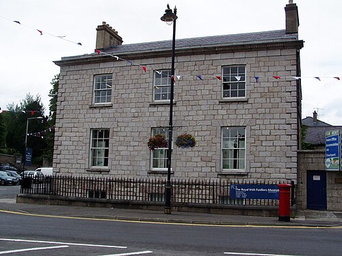 Royal Irish Fusiliers MuseumMuseum · 380 yd
 Boer War memorialMemorial · 392 yd
 Crimean CannonMemorial · 400 yd
 Battle of the Yellow FordMajor battlefield · 487 yd
 Armagh FriaryArchaeological place · 677 yd
 Cannon HillViewpoint · 3.3 mi