What is recorded here
Kildare’s lost town still lies beneath a modern park, caught between Woodstock Castle and the Crutched Friars. People may have fished its shallow ponds, bartered by the Barrow and forgotten the whole place after the castle and monastery took its life.
Possible deserted medieval settlement located on the W bank of the River Barrow between the religious house (KD035-022006-) of the Crutched Friars founded by Richard de St. Michael in the thirteenth century and Woodstock Castle (KD035-021----). A series of linear earthworks forming rectangular features in the poorly drained field to SE may represent the remains of medieval fish-ponds (KD035-021002-). The 1656 Down Survey map of Kildare depicts a settlement in the form a cluster of buildings standing on the W bank of the River Barrow between Woodstock Castle (KD035-021----) and the religious house (KD035-022006-) of the Crutched Friars (downsurvey.tcd.ie/down-survey-maps.php#c=Kildare). This would place the settlement in the area which today is used as a recreational council owned park.
Compiled by: Caimin O'Brien
Date of upload: 28 April 2016
The monument record does not grant public access. Check the route and ask the landowner before entering private land.
- What survives
- Recorded monument
Places near here
 Woodstock CastleRuins · 206 yd
 Woodstock Castle (in Ruins)Castle, hall-house · 211 yd
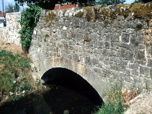 Rathstewart Bridgebridge · 322 yd
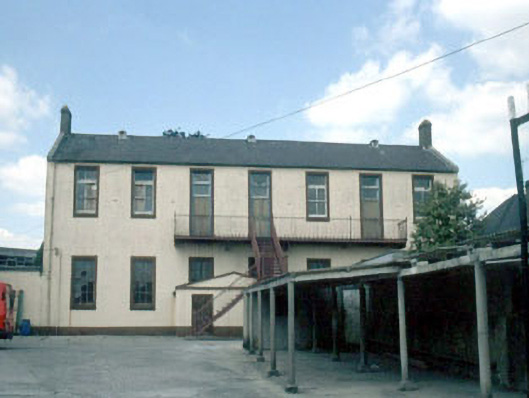 schoolschool · 346 yd
 1798 memorialMemorial · 567 yd
 Ernest ShackletonMemorial · 582 yd
 Town HallMuseum · 587 yd
 Enclosure in PrusselstownEnclosure · 1192 yd
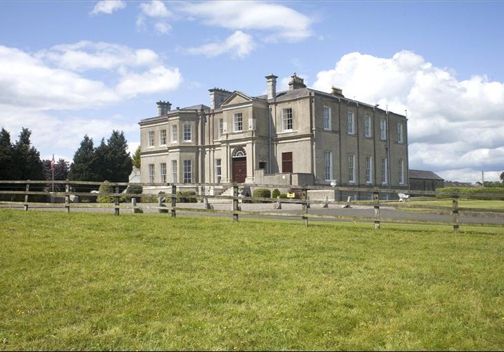 Enclosure in Cardington DemesneEnclosure · 1342 yd
 Scots PineScots Pine · 2.1 mi
 Inch WoodForest · 3.4 mi
 History of Moat of ArdscullVisitor information · 3.6 mi