What is recorded here
Deserted settlement in County Limerick, Ireland, near the River Shannon. A Down Survey map shows a gabled house and cluster of dwellings, but the place has not been located on the ground. Whatever lived there has sunk back into pasture and memory.
In low-lying pasture, c. 0.8km to E of the River Shannon. Depicted as a gabled house (LI005-049001-) standing beside a cluster of dwellings on the Down Survey barony map of North Liberties (Hib. Reg.). The Record of Monuments and Places (RMP) suggested that the unnamed buildings shown on the 1840 ed. OS 6-inch map may have been the site of the Down Survey cluster of dwellings. However the scale of the Down Survey map is insufficient to precisely locate this possible settlement without supporting archaeological remains. The precise location of this possible settlement depicted on the Down Survey barony map remains unlocated.
See attached Down Survey map of the barony of North Liberties.
Compiled by: Alison McQueen, Vera Rahilly and Caimin O'Brien
Date of upload: 23 June 2020
The monument record does not grant public access. Check the route and ask the landowner before entering private land.
- What survives
- Recorded monument
Places near here
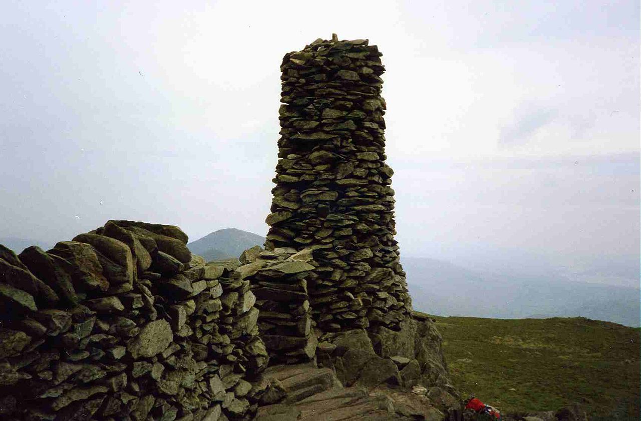 Crag Grave Yd.Children's burial ground · 1099 yd
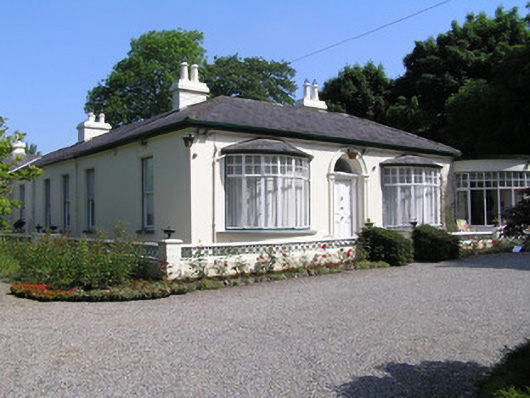 Cragfieldhouse · 1226 yd
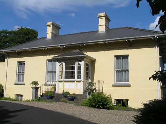 Orelandhouse · 1226 yd
 Bastioned fort in Farranshone Beg,farranshone MoreBastioned fort · 1609 yd
 Site of CastleCastle, unclassified · 1664 yd
 Castle Blake or Farranshone (Site of)Castle, unclassified · 1.3 mi
 Limerick Seamen's MemorialMemorial · 1.5 mi
 Saint John Paul IIMemorial · 1.5 mi
 King's IslandIsland · 1.5 mi
 Coonagh NatureNature reserve · 1.8 mi
 Ardnacrusha ToursMuseum · 3.0 mi
 Seán Keating GalleryGallery · 3.0 mi