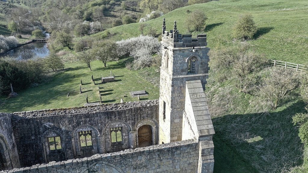
What is recorded here
Oola Castle and its deserted settlement occupy a sunny eastern slope above the county border, where medieval fields and a rectangular platform still emerge through pasture. The Citizens of Limerick granted Ullish to J. Fitz Thomas in 1282, while a branch of the O’Brien’s of Thomond is reputed to have built the castle nearby. People may have lived among those vanished gardens, watched the road below and left only ridges for later eyes to find.
In pasture on the lower E facing slope of Oola Hill, 430m ESE of the summit and 80m NW and N of Oola Castle (LI033A008002-) standing 1km W of the county border with Tipperary. The site has excellent views to the N, E and S. A land grant of 1282 records that Ullish (Oola) was granted by the Citizens of Limerick to J. Fitz Thomas (Westropp 1906, 103). Oola Castle, a tower house, is reputed to have been built by a branch of the O’Brien’s of Thomond, Tirrelagh mac Brien held a castle at Knockowlow (Oola Hills) in 1572 (ibid., 103).
The earthworks were first identified on oblique aerial photographs taken 20/07/1968 and 10/07/1969 (CUCAP AVT043/044; AYO037) appear to be the remains of medieval settlement contemporary or earlier associated with Oola Castle. The field systems and earthworks are not depicted on the 1840 ed. OSi 6-inch map or on the 1897 ed. OSi 25-inch map. The field systems, sunken way and house platforms are visible on OSi orthoimage taken 2005-12 and on Digital Globe orthoimages taken 2011-2013. A clear rectangular platform (ext. dims. 23m NNE-SSW; 19m ENE-WSW) defined by a fosse located at the E side of the field system. A covered way or sunken road (L. 125m) orientated NW-SE is located 14m SW of the rectangular platform. A series of irregular relic fields are located to the SW of the sunken road where cultivation ridges survives on the ground surface. The aerial Google Earth orthoimages taken 11/03/2014 and 18/11/2018 best illustrate the cultivation ridges and hummocky topography suggestive of wider settlement (ext. dims. 130m N-S; 160m E-W).
See attached CUCAP aerial photographs and Google Earth orthoimages
Compiled by: Edmond O’Donovan
Date of upload: 2 October 2020
The monument record does not grant public access. Check the route and ask the landowner before entering private land.
- What survives
- Recorded monument
Places near here
 Oola Castle (in ruins)Castle, tower house · 216 yd
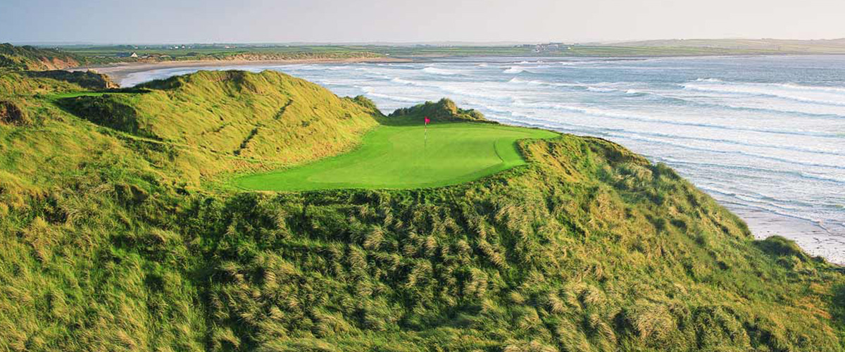 BarrowBarrow, ditch barrow · 559 yd
 Shanaclough Househouse · 562 yd
 Oola HillMountain / peak · 698 yd
 Field system in Shanaclogh EastField system · 769 yd
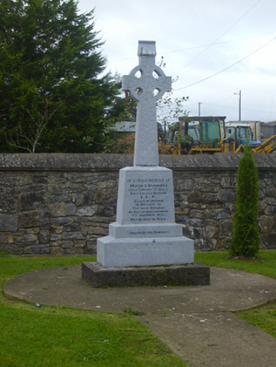 O'Donnell Monumentmonument · 1301 yd
 CastleCastle, ringwork · 1582 yd
 ToberagaddySpring · 4.3 mi
 St. Patrick's WellSpring · 6.6 mi
 Kilteely HillMountain / peak · 6.8 mi
 Flat cemetery in Knockainy WestFlat cemetery · 9.8 mi
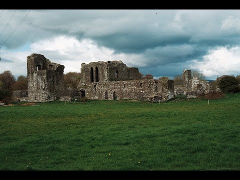 Earthwork in Ballybeg (coonagh By.)Earthwork · 1193 yd
Other information
Photo: Credit not shown in the picture search · Rights wording not checked; contact us if this picture should be removed